Right Now In Oklahoma City
Travel Conditions In Oklahoma's Capital Area
Current Weather And Visibility
3:44 pm Local Time

Sunny
66°F / 19°C
Feels Like
69°F / 20.5°C

Visibility
10 Mi / 16.1 Km
3 Hr Precip
0 In / 0.0 Cm

-
ENE Wind
6.6 Mi / 10.7 Km
Gusts
10.9 Mi / 17.6 Km
Conditions and forecasts provided in partnership with AccuWeather.

Weather provided in partnership with AccuWeather.
More Weather Options
Key Metro Areas In Oklahoma

Tulsa
Includes the following communities: Tulsa, Broken Arrow, Muskogee, Stillwater, Sapulpa, Vinita, Joplin, Missouri, Siloam Springs, Arkansas, and San Springs.
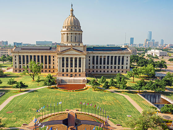
Oklahoma City
Includes the following communities: Oklahoma City, Choctaw, Norman, Shawnee, Henryetta, Edmond, and Chickasha.

Lawton - Fort Sill
Includes the following communities: Lawton, Fort Sill, Geronimo, and Cache.
Advertising

 Cherokee Turnpike
 Creek Turnpike
 Muskogee Turnpike
 Turner Turnpike
 Will Rogers Turnpike
 Gilcrease Expressway West
 H E Bailey Turnpike
 Indian Nation Turnpike
 John Kilpatrick Turnpike
 Kickapoo Turnpike
 Chickasaw Turnpike
 Addison Airport Toll Tunnel ▹
 Chisholm Trail Parkway ▹
 Dallas North Tollway ▹
 Lewisville Lake Toll Bridge ▹
 Mountain Creek Lake Toll Bridge ▹
 President George Bush Turnpike ▹
 Sam Rayburn Tollway ▹
 360 Tollway ▹
 Kansas Turnpike ▹


