Interstate 71 Traffic And Weather

I-71 is under construction.

This data for this road's travel conditions is not quite ready, but it will be online very soon.

Thank you for your patience, and please try again shortly.

~ The Turnpikes.com team. Updated April 6, 2025.

Ohio Radar & Satellite

NOAA composite satellite & weather radar imagery.

Images from GOES-East Great Lakes Sector. Sequence may take a moment to initialize.

  • GOES 16: GOES-East Great Lakes Sector
  • GOES 16: GOES-East Great Lakes Sector
  • GOES 16: GOES-East Great Lakes Sector
  • GOES 16: GOES-East Great Lakes Sector
  • GOES 16: GOES-East Great Lakes Sector
  • GOES 16: GOES-East Great Lakes Sector
  • GOES 16: GOES-East Great Lakes Sector
  • GOES 16: GOES-East Great Lakes Sector

Weather & Travel Conditions With The Road Map

This highway serves . Use the interactive map of Interstate 71 to pick a location for destination weather.

Pan and zoom the interactive map to your chosen position. Select markers to view conditions at that location and see nearby available traffic cameras along the highway.

View Map Regional Forecasts

Advertising
Advertising

Interstate 71 Road Map

Select markers on the map for location-specific traffic and weather conditions along Interstate 71.

Advertising
Advertising

Regional Driving Forecasts For Interstate 71

An updated version of this section is pending. Please select a region or exit above for 12-hour and 10-day forecasts.

Advertising
Advertising

EXPLORE OHIO

Journey to key destinations around and adjacent to Ohio!

Map Of This Region ▹

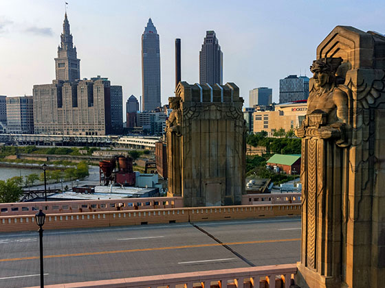
Communities in this metro area include Cleveland, Akron, Boardman, Lorain, Aurora, Youngstown, New Castle, Pennsylvania, and Beaver Falls, Pennsylvania.

Individual toll maps for this region are listed below.

Map Of This Region ▹

Communities in this metro area include Toledo, Perrysburg, Maumee, Montpelier, and Wauseon.

Individual toll maps for this region are listed below.

Map Of This Region ▹

Communities in this metro area include Castalia, Sandusky, Norwalk, Bellevue, Huron, Milan, and Monroeville.

Individual toll maps for this region are listed below.

Map Of This Region ▹

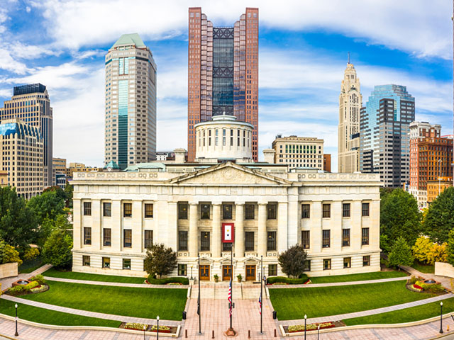
Communities in this metro area include Columbus, Upper Arlington, Westerville, New Albany, Worthington, Dublin, Pickerington, and Reynoldsburg.

Individual toll maps for this region are listed below.

columbus-state capital

Roads Within Region

Map Of This Region ▹

Map Of This Region ▹

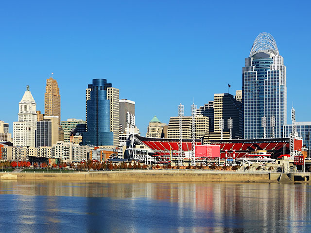
Communities in this metro area include Cincinnati, Norwood, Cheviot, Northbrook, Reading, Covington, Kentucky, and Newport, Kentucky.

Individual toll maps for this region are listed below.

cincinnati-covington

Roads Within Region

Map Of This Region ▹

Map Of This Region ▹

Communities in this metro area include Gary, South Bend, Elkhart, Portage, and Fremont.

Individual toll maps for this region are listed below.

Map Of This Region ▹

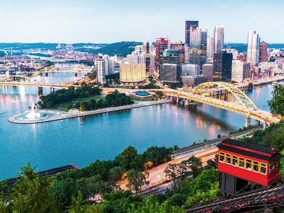
Communities in this metro area include Pittsburgh, Cranberry Township, Beaver Valley, New Castle, Washington, Uniontown, Cheat Lake, West Virginia, Boardman, Ohio, and Youngstown, Ohio.

Individual toll maps for this region are listed below.

Map Of This Region ▹

Communities in this metro area include Parkersburg, North Hills, Vienna, and Belpre, Ohio.

Individual toll maps for this region are listed below.

Map Of This Region ▹

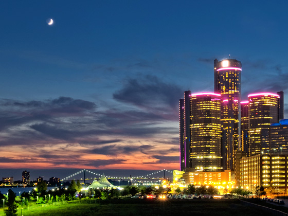
Communities in this metro area include Detroit, Grosse Ile, Ann Arbor, Pontiac, and Lansing.

Individual toll maps for this region are listed below.

Advertising
Advertising
Turnpikes.com is proud to partner with the following: