Palmer Traffic And Weather

Static map of Massachusetts Turnpike at Route 32

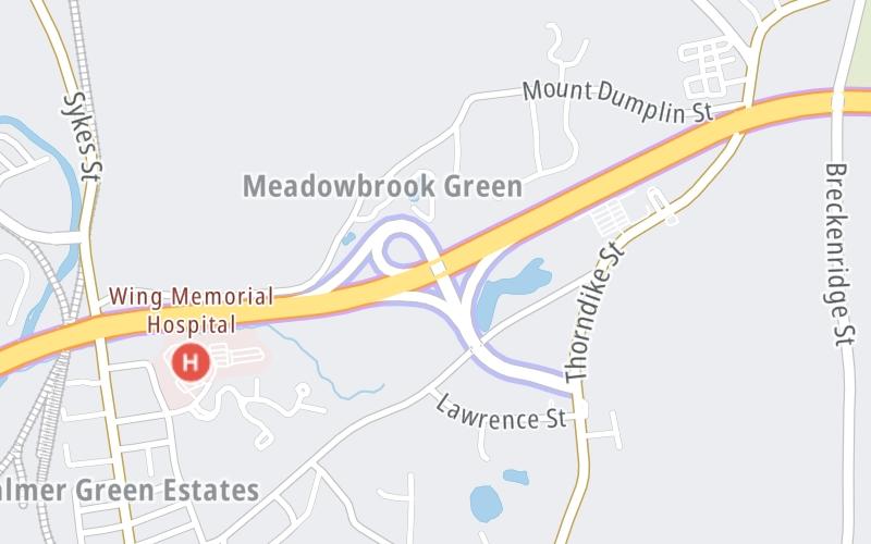
Right Now At Route 32 and The Massachusetts Turnpike

Current Weather And Visibility

8:38 pm Local Time

  • 20 7 09
  • Mostly Cloudy

    62°F / 16.9°C

    Feels Like:

    63°F / 17.5°C

  • Visibility

    13 Mi / 20.9 Km

    3-Hour Precip:

    0 In / 0.0 Cm

  • Northeast
    Winds (NE)

    1.7 MPH / 2.7 KPH

    Gusts:

    4.9 MPH / 7.9 KPH

Conditions and forecasts provided in partnership with AccuWeather.

AccuWeather logo

Weather provided in partnership with AccuWeather.

AccuWeather logo

Forecast weather and driving conditions follow the jump. These include an hour-by-hour forecast for the next 12-hours, a three-day forecast and an extended forecast, for extended travel planning.

An area traffic map, with available traffic cameras, shows driving conditions, from current traffic to mother nature's influence on the road. These follow the short-range forecasts below.

Driving Forecast Traffic Map

Advertising
Advertising

Driving Forecast For Palmer, At Route 32

Next 12 Hours

8:38 pm Local Time

Conditions and forecasts provided in partnership with AccuWeather.

AccuWeather logo

Weather provided in partnership with AccuWeather.

AccuWeather logo

Available Cameras

I-90-EB-MM62.6-PALMER-EX 63 RT 32

I-90-EB-MM62.6-PALMER-EX 63 RT 32

Camera Direction: EAST. Source: MassDOT - Boston 01069

Cameras Closest To Route 32

Camera Direction: EAST. Source: MassDOT - Boston 01069

135 Ft

Next Three (3) Days

Wednesday September 17

Wednesday forecast: A morning shower in the area; otherwise, clouds yielding to sun

Intermittent Clouds

40% Chance Rain

72° F/22.2° C

E Wind

7 to 12 Mi/

11 to 19 Km

Sunrise

6:31 AM

Wednesday night: Mostly cloudy with a couple of showers

Mostly Cloudy W/ Showers

96% Chance Rain

61° F/16.1° C

NE Wind

6 to 14 Mi/

9 to 22 Km

Sunset

6:56 PM

Thursday September 18

Thursday forecast: Partly sunny and comfortable

Partly Sunny

23% Chance Rain

79° F/26.1° C

W Wind

6 to 12 Mi/

9 to 19 Km

Sunrise

6:32 AM

Thursday night: Clear

Clear

2% Chance Rain

54° F/12.2° C

WSW Wind

6 to 12 Mi/

9 to 19 Km

Sunset

6:54 PM

Friday September 19

Friday forecast: Mostly sunny and pleasant

Mostly Sunny

2% Chance Rain

79° F/26.1° C

NW Wind

9 to 23 Mi/

15 to 37 Km

Sunrise

6:33 AM

Friday night: Clear

Clear

0% Chance Rain

43° F/6.1° C

N Wind

7 to 15 Mi/

11 to 24 Km

Sunset

6:52 PM

Advertising
Advertising

Area Traffic Map

This junction is located in Palmer, at GPS 42.17226 x -72.33188. Amherst and Ware are nearby. This location is in the Springfield - Westfield area.

You can pan and zoom the interactive map. Select cameras to see the on-road traffic feeds, and pick exits or other markers for conditions at those locations.

Advertising
Advertising

Extended Forecast For Palmer, At Route 32

Ten (10) Day Travel Planner

Go Online Before You Go On The Road!®

Conditions and forecasts provided in partnership with AccuWeather.

AccuWeather logo

Weather provided in partnership with AccuWeather.

AccuWeather logo
Advertising
Advertising

EXPLORE MASSACHUSETTS

Journey to key destinations around and adjacent to Massachusetts!

Map Of This Region ▹

Communities in this metro area include Boston, Cambridge, Chelsea, Allston, Framingham, Westborough, and Worcester.

Individual toll maps for this region are listed below.

Map Of This Region ▹

Communities in this metro area include Springfield, West Springfield, Chicopee, Westfield, and Hartford, Connecticut.

Individual toll maps for this region are listed below.

Map Of This Region ▹

Communities in this metro area include Hooksett, Concord, Manchester, and West Concord.

Individual toll maps for this region are listed below.

Map Of This Region ▹

Communities in this metro area include Albany, Schenectady, Rotterdam, Amsterdam, and West Stockbridge, Massachusetts.

Individual toll maps for this region are listed below.

Advertising
Advertising
Turnpikes.com is proud to partner with the following: