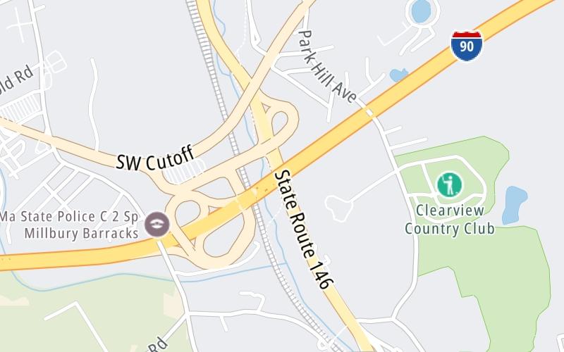
10:27 am Local Time
Light Snow
33°F / 0.5°C
Feels Like:
28°F / -2.1°C
Visibility
4 Mi / 6.4 Km
3-Hour Precip:
0.02 In / 0.1 Cm
West Northwest
Winds (WNW)
7.8 MPH / 12.6 KPH
Gusts:
19.4 MPH / 31.3 KPH
Forecast weather and driving conditions follow the jump. These include an hour-by-hour forecast for the next 12-hours, a three-day forecast and an extended forecast, for extended travel planning.
An area traffic map, with available traffic cameras, shows driving conditions, from current traffic to mother nature's influence on the road. These follow the short-range forecasts below.
I-90-EB-MM93.6-MILLBURY-EX 94 RTS 122A & 146
Camera Direction: EAST. Source: MassDOT - Boston 01527
Cameras Closest To Route 146 / US 20
There are more cameras available. Please see the map below to see all cameras within a two-mile (2 mile) radius.
Friday forecast: Partly sunny and windy; a winter storm is on the way this weekend; check AccuWeather often
Partly Sunny
23% Chance Snow
36° F/2.2° C
W Wind
17 to 38 Mi/
28 to 61 Km
Sunrise
6:54 AM
Friday night: Partly sunny and windy; a winter storm is on the way this weekend; check AccuWeather often
Partly Cloudy
0% Chance Rain
17° F/-8.3° C
W Wind
12 to 25 Mi/
19 to 41 Km
Sunset
5:09 PM
Saturday forecast: Increasing cloudiness; deteriorating travel conditions at night; check AccuWeather often
Mostly Cloudy
0% Chance Rain
32° F/0.0° C
W Wind
8 to 15 Mi/
13 to 24 Km
Sunrise
6:53 AM
Saturday night: Increasing cloudiness; deteriorating travel conditions at night; check AccuWeather often
Snow
0% Chance Rain
23° F/-5.0° C
ESE Wind
5 to 10 Mi/
7 to 17 Km
Sunset
5:10 PM
Sunday forecast: Mostly cloudy with periods of snow in the morning, 1-2", then becoming breezy; storm total 4-8"; travel will remain difficult; exercise caution when shoveling
Snow
78% Chance Snow
31° F/-0.6° C
NNW Wind
12 to 29 Mi/
19 to 46 Km
Sunrise
6:52 AM
Sunday night: Mostly cloudy with periods of snow in the morning, 1-2", then becoming breezy; storm total 4-8"; travel will remain difficult; exercise caution when shoveling
Mostly Clear
4% Chance Snow
14° F/-10.0° C
W Wind
7 to 12 Mi/
11 to 19 Km
Sunset
5:12 PM
Pan and zoom the map as you desire. Select cameras to see on-road traffic feeds; pick exits and other markers for conditions at those locations.
Journey to key destinations around and adjacent to Massachusetts!
Communities in this metro area include Boston, Cambridge, Chelsea, Allston, Framingham, Westborough, and Worcester.
Individual toll maps for this region are listed below.
Communities in this metro area include Springfield, West Springfield, Chicopee, Westfield, and Hartford, Connecticut.
Individual toll maps for this region are listed below.
Communities in this metro area include Hooksett, Concord, Manchester, and West Concord.
Individual toll maps for this region are listed below.
Communities in this metro area include Albany, Schenectady, Rotterdam, Amsterdam, and West Stockbridge, Massachusetts.
Individual toll maps for this region are listed below.