12:23 am Local Time
Cloudy
56°F / 13.4°C
Feels Like:
57°F / 13.7°C
Visibility
9 Mi / 14.5 Km
3-Hour Precip:
0 In / 0.0 Cm
South Southeast
Winds (SSE)
1.6 MPH / 2.6 KPH
Gusts:
6.7 MPH / 10.9 KPH
Forecast weather and driving conditions follow the jump. These include an hour-by-hour forecast for the next 12-hours, a three-day forecast and an extended forecast, for extended travel planning.
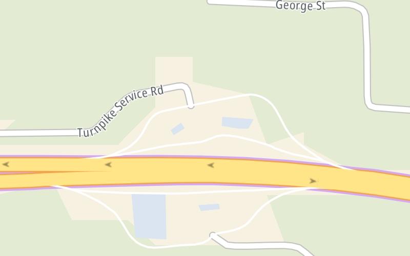
An area traffic map, with available traffic cameras, shows driving conditions, from current traffic to mother nature's influence on the road. These follow the short-range forecasts below.
There is no currently-available traffic camera feed for this location.
Saturday forecast: Periods of rain this morning; otherwise, mainly cloudy and cooler
Showers
90% Chance Rain
62° F/16.7° C
E Wind
7 to 13 Mi/
11 to 20 Km
Sunrise
5:16 AM
Saturday night: Periods of rain this morning; otherwise, mainly cloudy and cooler
Dreary
25% Chance Rain
55° F/12.8° C
ENE Wind
6 to 10 Mi/
9 to 17 Km
Sunset
8:31 PM
Sunday forecast: Clouds giving way to some sun
Intermittent Clouds
25% Chance Rain
67° F/19.4° C
SE Wind
6 to 12 Mi/
9 to 19 Km
Sunrise
5:16 AM
Sunday night: Clouds giving way to some sun
Mostly Cloudy
11% Chance Rain
54° F/12.2° C
SE Wind
5 to 10 Mi/
7 to 17 Km
Sunset
8:31 PM
Monday forecast: Cloudy
Cloudy
8% Chance Rain
73° F/22.8° C
SSE Wind
7 to 18 Mi/
11 to 30 Km
Sunrise
5:16 AM
Monday night: Cloudy
Partly Cloudy
14% Chance Rain
54° F/12.2° C
SE Wind
5 to 14 Mi/
7 to 22 Km
Sunset
8:32 PM
This travel plaza is located in Lee, at GPS 42.29834 x -73.27450. This location is in the Springfield - Westfield area; it also overlaps with the Albany - Schenectady area.
You can pan and zoom the interactive map. Select cameras to see the on-road traffic feeds, and pick exits or other markers for conditions at those locations.
Journey to key destinations around and adjacent to Massachusetts!
Communities in this metro area include Boston, Cambridge, Chelsea, Allston, Framingham, Westborough, and Worcester.
Individual toll maps for this region are listed below.
Communities in this metro area include Springfield, West Springfield, Chicopee, Westfield, and Hartford, Connecticut.
Individual toll maps for this region are listed below.
Communities in this metro area include Hooksett, Concord, Manchester, and West Concord.
Individual toll maps for this region are listed below.
Communities in this metro area include Albany, Schenectady, Rotterdam, Amsterdam, and West Stockbridge, Massachusetts.
Individual toll maps for this region are listed below.