This Location At A Glance
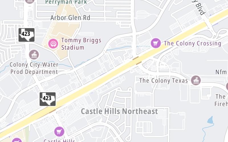
This junction is located in . NOTE: SB ramp gantry.
Map image © TomTom Intl BV
This location's approximate GPS Coordinates are 33.07043 x -96.87953.
Which directions can I travel from here?
From this junction, traffic can only exit going southbound.
Nearby gas and food are shown on the interactive map below.
Weather & Visibility

Clear
57°F / 14°C
Feels Like
58°F / 14.6°C

Visibility
11 Mi / 17.7 Km
3 Hr Precip
0 In / 0.0 Cm

-
SSE Wind
2.3 Mi / 3.6 Km
Gusts
4.8 Mi / 7.7 Km
Conditions and forecasts provided in partnership with AccuWeather.

Weather provided in partnership with AccuWeather.
Available Cameras
No camera feed …
There is no currently-available traffic camera feed for this location.
Advertising


 Addison Airport Toll Tunnel ▹
 Chisholm Trail Parkway ▹
 Dallas North Tollway ▹
 Lewisville Lake Toll Bridge ▹
 Mountain Creek Lake Toll Bridge ▹
 President George Bush Turnpike ▹
 Sam Rayburn Tollway ▹
 360 Tollway ▹
 Grand Parkway ▹
 Hardy Toll Road ▹
 Sam Houston Tollway ▹
 Tomball Tollway ▹
 Westpark Tollway ▹
 Loop 1 ▹
 SH 130 ▹
 SH 45 N ▹
 SH 45 SW ▹
 183A Toll Road ▹
 183 Toll Road ▹
 290 Toll Road ▹
 71 Toll Road ▹
 Toll 49 ▹
 SH 550 ▹
 H E Bailey Turnpike ▹


