This Location At A Glance
This toll point is located in Cedar Park. Austin is nearby.
This location is in the Austin - Round Rock area.
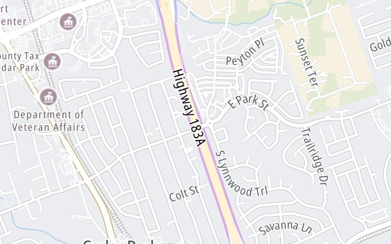
Map image © TomTom Intl BV
This location's approximate GPS Coordinates are 30.51430 x -97.81321.
On to Whitestone Blvd, about 0.8 miles away ►
◄ Back to Brushy Creek Rd, about 0.8 miles away.
Nearby gas and food are shown on the interactive map below.
Weather & Visibility

Mostly Cloudy
89°F / 31.4°C
Feels Like
96°F / 35.5°C

Visibility
11 Mi / 17.7 Km
3 Hr Precip
0 In / 0.0 Cm

-
SSE Wind
6.7 Mi / 10.8 Km
Gusts
14 Mi / 22.6 Km
See the full forecast for the Austin - Round Rock area
Conditions and forecasts provided in partnership with AccuWeather.

Weather provided in partnership with AccuWeather.
Available Cameras

2.45 Mi
2.96 Mi
3.26 Mi
3.36 Mi
3.55 Mi
Advertising


 Addison Airport Toll Tunnel ▹
 Chisholm Trail Parkway ▹
 Dallas North Tollway ▹
 Lewisville Lake Toll Bridge ▹
 Mountain Creek Lake Toll Bridge ▹
 President George Bush Turnpike ▹
 Sam Rayburn Tollway ▹
 360 Tollway ▹
 Grand Parkway ▹
 Hardy Toll Road ▹
 Sam Houston Tollway ▹
 Tomball Tollway ▹
 Westpark Tollway ▹
 Loop 1 ▹
 SH 130 ▹
 SH 45 N ▹
 SH 45 SW ▹
 183A Toll Road ▹
 183 Toll Road ▹
 290 Toll Road ▹
 71 Toll Road ▹
 Toll 49 ▹
 SH 550 ▹
 H E Bailey Turnpike ▹


