This Location At A Glance
This toll point is located in Austin. Manchaca is nearby.
This location is in the Austin - Round Rock area.
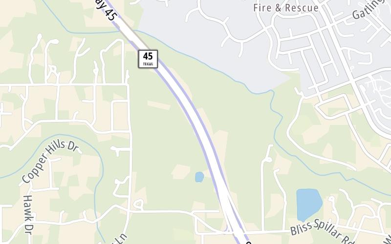
This location's approximate GPS Coordinates are 30.14535 x -97.86859.
On to Bliss Spillar Rd, about 0.6 miles away ►
◄ Back to SH 1 / MoPac Expy / Archeleta Blvd, about 2.3 miles away.
Nearby gas and food are shown on the interactive map below.
Weather & Visibility

Mostly Cloudy
74°F / 23.3°C
Feels Like
70°F / 21.3°C

Visibility
10 Mi / 16.1 Km
3 Hr Precip
0 In / 0.0 Cm

-
SSE Wind
13.8 Mi / 22.2 Km
Gusts
13.8 Mi / 22.2 Km
See the full forecast for the Austin - Round Rock area
Conditions and forecasts provided in partnership with AccuWeather.

Weather provided in partnership with AccuWeather.
Available Cameras
No camera feed …
There is no currently-available traffic camera feed for this location.


 Addison Airport Toll Tunnel ▹
 Chisholm Trail Parkway ▹
 Dallas North Tollway ▹
 Lewisville Lake Toll Bridge ▹
 Mountain Creek Lake Toll Bridge ▹
 President George Bush Turnpike ▹
 Sam Rayburn Tollway ▹
 360 Tollway ▹
 Grand Parkway ▹
 Hardy Toll Road ▹
 Sam Houston Tollway ▹
 Tomball Tollway ▹
 Westpark Tollway ▹
 Loop 1 ▹
 SH 130 ▹
 SH 45 N ▹
 SH 45 SW ▹
 183A Toll Road ▹
 183 Toll Road ▹
 290 Toll Road ▹
 71 Toll Road ▹
 Toll 49 ▹
 SH 550 ▹
 H E Bailey Turnpike ▹


