This Location At A Glance
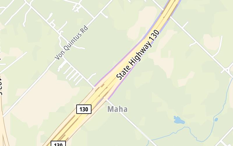
This junction is located in Mustang Ridge. Creedmoor is nearby. NOTE: Exit 458 from SH 130.
This location is in the Austin - Round Rock area.
This location's approximate GPS Coordinates are 30.09503 x -97.67649.
Which directions can I travel from here?
From this junction, traffic can only enter going westbound. Traffic can only exit going eastbound.
◄ Back to U.S. Hwy 183 / TX 130 Service Rd, about 1.1 miles away.
▹ SH 45 SE and Sh 130 connect here.
Nearby gas and food are shown on the interactive map below.
Weather & Visibility

Cloudy
66°F / 18.9°C
Feels Like
60°F / 15.6°C

Visibility
10 Mi / 16.1 Km
3 Hr Precip
0.04 In / 0.1 Cm

-
NNE Wind
15 Mi / 24.1 Km
Gusts
25.3 Mi / 40.8 Km
See the full forecast for This Location or the Austin - Round Rock area
Conditions and forecasts provided in partnership with AccuWeather.

Weather provided in partnership with AccuWeather.
Available Cameras

3.25 Mi


 Addison Airport Toll Tunnel ▹
 Chisholm Trail Parkway ▹
 Dallas North Tollway ▹
 Lewisville Lake Toll Bridge ▹
 Mountain Creek Lake Toll Bridge ▹
 President George Bush Turnpike ▹
 Sam Rayburn Tollway ▹
 360 Tollway ▹
 Grand Parkway ▹
 Hardy Toll Road ▹
 Sam Houston Tollway ▹
 Tomball Tollway ▹
 Westpark Tollway ▹
 Loop 1 ▹
 SH 130 ▹
 SH 45 N ▹
 SH 45 SW ▹
 183A Toll Road ▹
 183 Toll Road ▹
 290 Toll Road ▹
 71 Toll Road ▹
 Toll 49 ▹
 SH 550 ▹
 H E Bailey Turnpike ▹


