This Location At A Glance
This toll point is located in Baytown. Chambers County is nearby.
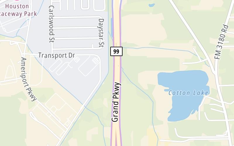
This location is in the Houston - Galveston area.
Map image © TomTom Intl BV
This location's approximate GPS Coordinates are 29.77221 x -94.87309.
On to Cedar Port Pkwy / Fisher Rd, about 2.8 miles away ►
◄ Back to FM 565, about 0.9 miles away.
Nearby gas and food are shown on the interactive map below.
Weather & Visibility

Mostly Cloudy
81°F / 27°C
Feels Like
93°F / 33.9°C

Visibility
10 Mi / 16.1 Km
3 Hr Precip
0 In / 0.0 Cm

-
SSE Wind
8.4 Mi / 13.5 Km
Gusts
16.7 Mi / 26.9 Km
See the full forecast for the Houston - Galveston area
Conditions and forecasts provided in partnership with AccuWeather.

Weather provided in partnership with AccuWeather.
Available Cameras

0.80 Mi
Advertising


 Addison Airport Toll Tunnel ▹
 Chisholm Trail Parkway ▹
 Dallas North Tollway ▹
 Lewisville Lake Toll Bridge ▹
 Mountain Creek Lake Toll Bridge ▹
 President George Bush Turnpike ▹
 Sam Rayburn Tollway ▹
 360 Tollway ▹
 Grand Parkway ▹
 Hardy Toll Road ▹
 Sam Houston Tollway ▹
 Tomball Tollway ▹
 Westpark Tollway ▹
 Loop 1 ▹
 SH 130 ▹
 SH 45 N ▹
 SH 45 SW ▹
 183A Toll Road ▹
 183 Toll Road ▹
 290 Toll Road ▹
 71 Toll Road ▹
 Toll 49 ▹
 SH 550 ▹
 H E Bailey Turnpike ▹


