This Location At A Glance
This junction is located in Houston. NOTE: to Post Oak Blvd.
This location is in the Houston - Galveston area.
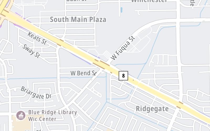
This location's approximate GPS Coordinates are 29.60579 x -95.47688.
Which directions can I travel from here?
NOTE: This road is circular; therefore, the directions shown correspond as follows:
westbound = clockwise / eastbound = counter clockwise
From this junction, traffic can enter traveling both westbound and eastbound. Traffic can also exit traveling both westbound and eastbound.
On to Fort Bend Pkwy / Hillcroft Avenue, about 1.1 miles away ►
◄ Back to S Post Oak Road, about 0.8 miles away.
Nearby gas and food are shown on the interactive map below.
Weather & Visibility

Light Rain
76°F / 24.5°C
Feels Like
78°F / 25.6°C

Visibility
10 Mi / 16.1 Km
3 Hr Precip
0.02 In / 0.1 Cm

-
SE Wind
6.2 Mi / 10 Km
Gusts
13.7 Mi / 22 Km
See the full forecast for This Location or the Houston - Galveston area
Conditions and forecasts provided in partnership with AccuWeather.

Weather provided in partnership with AccuWeather.
Available Cameras
No camera feed …
There is no currently-available traffic camera feed for this location.


 Addison Airport Toll Tunnel ▹
 Chisholm Trail Parkway ▹
 Dallas North Tollway ▹
 Lewisville Lake Toll Bridge ▹
 Mountain Creek Lake Toll Bridge ▹
 President George Bush Turnpike ▹
 Sam Rayburn Tollway ▹
 360 Tollway ▹
 Grand Parkway ▹
 Hardy Toll Road ▹
 Sam Houston Tollway ▹
 Tomball Tollway ▹
 Westpark Tollway ▹
 Loop 1 ▹
 SH 130 ▹
 SH 45 N ▹
 SH 45 SW ▹
 183A Toll Road ▹
 183 Toll Road ▹
 290 Toll Road ▹
 71 Toll Road ▹
 Toll 49 ▹
 SH 550 ▹
 H E Bailey Turnpike ▹


