This Location At A Glance
This toll point is located in Houston. NOTE: Tolling zones are converted toll plazas.
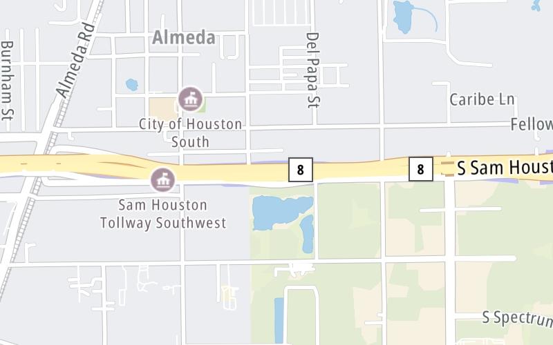
This location is in the Houston - Galveston area.
Map image © TomTom Intl BV
This location's approximate GPS Coordinates are 29.59678 x -95.41138.
On to FM 521/Almeda Road, about 1.0 mile away ►
◄ Back to SH 288/South Freeway, about 1.4 miles away.
Nearby gas and food are shown on the interactive map below.
Weather & Visibility

Cloudy
82°F / 27.5°C
Feels Like
91°F / 32.8°C

Visibility
9 Mi / 14.5 Km
3 Hr Precip
0 In / 0.0 Cm

-
S Wind
6.3 Mi / 10.1 Km
Gusts
11.3 Mi / 18.2 Km
See the full forecast for the Houston - Galveston area
Conditions and forecasts provided in partnership with AccuWeather.

Weather provided in partnership with AccuWeather.
Available Cameras

1.90 Mi
3.13 Mi
3.66 Mi
Advertising


 Addison Airport Toll Tunnel ▹
 Chisholm Trail Parkway ▹
 Dallas North Tollway ▹
 Lewisville Lake Toll Bridge ▹
 Mountain Creek Lake Toll Bridge ▹
 President George Bush Turnpike ▹
 Sam Rayburn Tollway ▹
 360 Tollway ▹
 Grand Parkway ▹
 Hardy Toll Road ▹
 Sam Houston Tollway ▹
 Tomball Tollway ▹
 Westpark Tollway ▹
 Loop 1 ▹
 SH 130 ▹
 SH 45 N ▹
 SH 45 SW ▹
 183A Toll Road ▹
 183 Toll Road ▹
 290 Toll Road ▹
 71 Toll Road ▹
 Toll 49 ▹
 SH 550 ▹
 H E Bailey Turnpike ▹


