This Location At A Glance
This toll point is located in Pasadena. Houston is nearby. NOTE: Tolling zones are converted toll plazas.
This location is in the Houston - Galveston area.
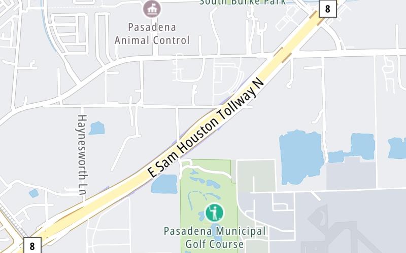
This location's approximate GPS Coordinates are 29.62529 x -95.17713.
On to Genoa Red Bluff Road / Preston Road, about 0.7 miles away ►
◄ Back to Crenshaw Road, about 0.6 miles away.
Nearby gas and food are shown on the interactive map below.
Weather & Visibility

Cloudy
81°F / 27.2°C
Feels Like
86°F / 30.2°C

Visibility
8 Mi / 12.9 Km
3 Hr Precip
0 In / 0.0 Cm

-
S Wind
13.8 Mi / 22.2 Km
Gusts
13.8 Mi / 22.2 Km
See the full forecast for the Houston - Galveston area
Conditions and forecasts provided in partnership with AccuWeather.

Weather provided in partnership with AccuWeather.
Available Cameras

2.22 Mi
2.43 Mi
2.44 Mi
2.73 Mi


 Addison Airport Toll Tunnel ▹
 Chisholm Trail Parkway ▹
 Dallas North Tollway ▹
 Lewisville Lake Toll Bridge ▹
 Mountain Creek Lake Toll Bridge ▹
 President George Bush Turnpike ▹
 Sam Rayburn Tollway ▹
 360 Tollway ▹
 Grand Parkway ▹
 Hardy Toll Road ▹
 Sam Houston Tollway ▹
 Tomball Tollway ▹
 Westpark Tollway ▹
 Loop 1 ▹
 SH 130 ▹
 SH 45 N ▹
 SH 45 SW ▹
 183A Toll Road ▹
 183 Toll Road ▹
 290 Toll Road ▹
 71 Toll Road ▹
 Toll 49 ▹
 SH 550 ▹
 H E Bailey Turnpike ▹


