About This Location
At A Glance
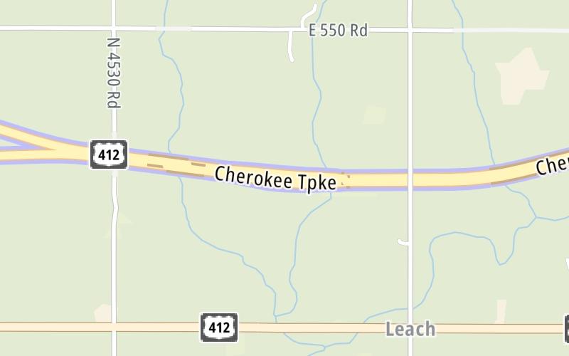
This toll point is located in Rose.
This location is in the Tulsa area.
This location's approximate GPS Coordinates are 36.21234 x -94.93006.
On to US 59 / SH 10, about 8.6 miles away ►
◄ Back to US 412 Alt, about 2.6 miles away.
Above: Map image © TomTom Intl BVUsing The POI Map
The interactive map will help you orient this location in relationship to other junctions.
Current driving conditions and weather may also be found below the map.


 Cherokee Turnpike ▹
 Creek Turnpike ▹
 Muskogee Turnpike ▹
 Turner Turnpike ▹
 Will Rogers Turnpike ▹
 Gilcrease Expressway West ▹

 H E Bailey Turnpike ▹
 Indian Nation Turnpike ▹
 John Kilpatrick Turnpike ▹
 Kickapoo Turnpike ▹
 Chickasaw Turnpike ▹

 Addison Airport Toll Tunnel ▹
 Chisholm Trail Parkway ▹
 Dallas North Tollway ▹
 Lewisville Lake Toll Bridge ▹
 Mountain Creek Lake Toll Bridge ▹
 President George Bush Turnpike ▹
 Sam Rayburn Tollway ▹
 360 Tollway ▹
 Kansas Turnpike ▹


