Share

Ohio Toll Maps

Search to find available roads, plazas, agencies, etc.

Ohio's Toll Road Maps

The list includes two toll roads within or crossing into the state of Ohio.

A menu of Ohio's interstates is also shown below.

Regional Toll Road MapsToll Roads By Type

Ohio Interstates

Simply scroll and tap the shield for the interstate you want.

Maps Of The State Of Ohio

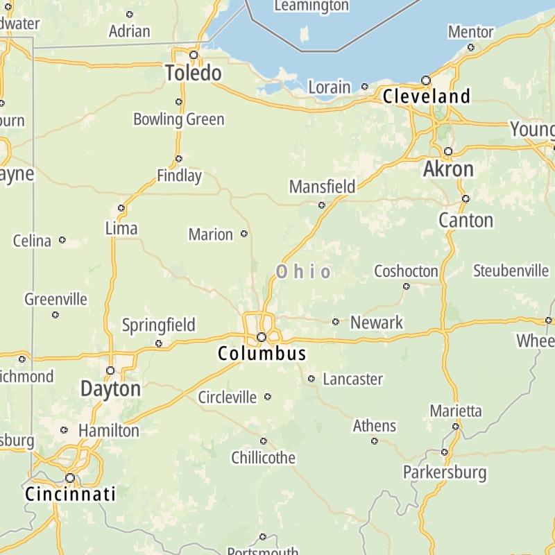
Driving In The State Of Ohio

Ohio's toll roads maps are organized alphabetically and by the type of road. You can find city and regional toll roads below. Interstates are sorted by number.

State Map Regional Maps Roads By Type

Advertising
Advertising

Metro And Regional Toll Road Maps

Ohio's Metro Areas

Select a metro area for regional toll road maps and a list of the toll roads in that area.

Map Of This Region ▹

Communities in this metro area include Cleveland, Akron, Boardman, Lorain, Aurora, Youngstown, New Castle, Pennsylvania, and Beaver Falls, Pennsylvania.

Individual toll maps for this region are listed below.

Map Of This Region ▹

Communities in this metro area include Toledo, Perrysburg, Maumee, Montpelier, and Wauseon.

Individual toll maps for this region are listed below.

Map Of This Region ▹

Communities in this metro area include Castalia, Sandusky, Norwalk, Bellevue, Huron, Milan, and Monroeville.

Individual toll maps for this region are listed below.

Map Of This Region ▹

Communities in this metro area include Columbus, Upper Arlington, Westerville, New Albany, Worthington, Dublin, Pickerington, and Reynoldsburg.

Individual toll maps for this region are listed below.

columbus-state capital

Roads Within Region

Map Of This Region ▹

Map Of This Region ▹

Communities in this metro area include Cincinnati, Norwood, Cheviot, Northbrook, Reading, Covington, Kentucky, and Newport, Kentucky.

Individual toll maps for this region are listed below.

cincinnati-covington

Roads Within Region

Map Of This Region ▹

Map Of This Region ▹

Communities in this metro area include Gary, South Bend, Elkhart, Portage, and Fremont.

Individual toll maps for this region are listed below.

Map Of This Region ▹

Communities in this metro area include Pittsburgh, Cranberry Township, Beaver Valley, New Castle, Washington, Uniontown, Cheat Lake, West Virginia, Boardman, Ohio, and Youngstown, Ohio.

Individual toll maps for this region are listed below.

Map Of This Region ▹

Communities in this metro area include Parkersburg, North Hills, Vienna, and Belpre, Ohio.

Individual toll maps for this region are listed below.

Map Of This Region ▹

Communities in this metro area include Detroit, Grosse Ile, Ann Arbor, Pontiac, and Lansing.

Individual toll maps for this region are listed below.

Interactive Map For Ohio

The state map displays icons for key regions in Ohio. Select a region for a list of the roads in the region. You can select road maps individually or get a metro-area map of the region.

Advertising
Advertising

Ohio's Toll facilities By Type

Advertising
Advertising
Turnpikes.com is proud to partner with the following: