This Location At A Glance
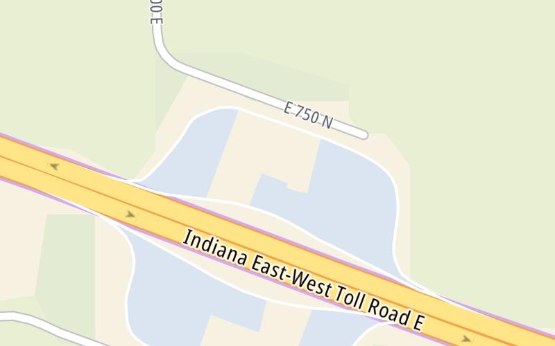
This travel plaza is located in Howe. NOTE: Westbound served.
This location is in the Northern Indiana area.
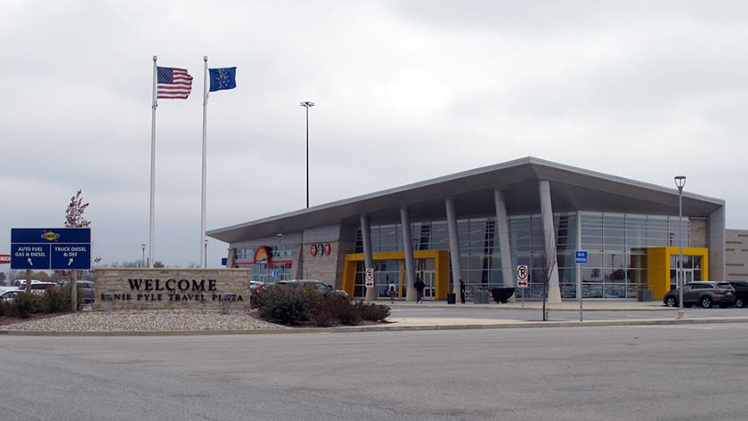
This location's approximate GPS Coordinates are 41.74692 x -85.32870.
On to I-69 / US 27 / SR 120 / SR 127, about 18.1 miles away ►
◄ Back to SR 9, about 5.3 miles away.
Nearby gas and food are shown on the interactive map below.
Weather & Visibility

Clear
63°F / 17.3°C
Feels Like
63°F / 17°C

Visibility
14 Mi / 22.5 Km
3 Hr Precip
0 In / 0.0 Cm

-
SSW Wind
4.9 Mi / 7.8 Km
Gusts
7.5 Mi / 12.1 Km
See the full forecast for This Location or the Northern Indiana area
Conditions and forecasts provided in partnership with AccuWeather.

Weather provided in partnership with AccuWeather.
Available Cameras
No camera feed …
There is no currently-available traffic camera feed for this location.


 Indiana Toll Road ▹
 Chicago Skyway ▹
 Tri State Tollway ▹
 Ohio Turnpike ▹
 Cline Avenue Bridge ▹
 Jane Addams Memorial Tollway ▹
 Ronald Reagan Memorial Tollway ▹
 Veterans Memorial Tollway ▹
 Illinois Route 390 ▹
 Houbolt Road Extension ▹
 Lewis And Clark Bridge ▹
 Abraham Lincoln Bridge ▹

 Ambassador Bridge ▹
 Detroit Windsor Tunnel ▹