Share

Tri State Tollway At I-88/Reagan Memorial Tollway

Advertising
Advertising

About This Location

I-88/Reagan Memorial Tollway
Map image © TomTom Intl BV

At A Glance

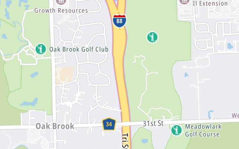
This is Exit 29 of the Tri State Tollway.

This junction is located in Chicago. Elmhurst is nearby. NOTE: NB I-294 to WB I-88/EB I-88 to SB I-294.

This location is in the Chicagoland - Northwestern Indiana area.

Interactive Map Below

This location's approximate GPS Coordinates are 41.83845 x -87.91937.

Which directions can I travel from here?

From this junction, traffic can only enter going southbound. Traffic can only exit going northbound.

On to East Ogden Avenue/US 34, about 1.4 miles away ►

◄ Back to West Cermak Road, about 0.6 miles away.

▹ The Tri State Tollway and the Ronald Reagan Memorial Tollway connect here.

Which direction are tolls charged here?

Tolls are not charged or collected at this junction.

View Map Travel Conditions

Closest Food, Gas, EV And Other Services Near I-88/Reagan Memorial Tollway

Use the map below for all services within about a two (2) mile radius.

Fuel, EV and convenience store header

Gas & EV Charging

Closest Gas Stations

Shell

SHELL

11200 31st Street • 1.03 miles

Store/Fuel Brand: Shell

BP

BP

11201 West Cermak Road • 1.11 miles

Store/Fuel Brand: BP

Shell

SHELL

210 East Ogden Avenue • 1.54 miles

Store/Fuel Brand: Shell

BP

BP

149 East Ogden Avenue • 1.55 miles

Store/Fuel Brand: BP

View Map

Closest EV Chargers

VILLAGE OF OAK BROOK - GOLF CLUB

2606 York Road • 0.61 miles

Tesla

VILLAGE OF OAK BROOK - GOLF CLUB

2606 York Road • 0.61 miles

WESTBROOK CORPORATE CENTER

2 Westbrook Corporate Center • 0.87 miles

ChargePoint

CHARGEPOINT

2011 York Road • 0.87 miles

View Map

Coffee, snacks and dining header

Fast Food & Beverage

Closest Fast Food

Fast food refers ONLY to quick-service and take-out diners. All restaurant types are shown on the map below.

Chipotle

CHIPOTLE

2103 Clearwater Drive • 0.96 miles

ROTI

2109 Clearwater Drive • 0.96 miles

FARMER'S FRIDGE

2011 York Road • 0.98 miles

Taco Bell

TACO BELL

3001 Wolf Road • 1.02 miles

Panera Bread

PANERA BREAD

11215 West Cermak Road • 1.06 miles

PAUL'S PIZZA & HOTDOGS

3044 Wolf Road • 1.10 miles

BURGER KING

BURGER KING

11124 31st Street • 1.11 miles

Jimmy John's

JIMMY JOHN'S

2223 South Wolf Road • 1.14 miles

View Map

Advertising
Advertising

Interactive POI Map

The interactive map and lists on this page include key traveler services in a two-mile radius, including gas stations, truck stops, EV charging facilities, fast-food or family restaurants, and hotels.

Current driving conditions and weather, may be found below.

Advertising
Advertising

Travel Conditions At I-88/Reagan Memorial Tollway

Current Weather And Visibility

  • 17 7 12
  • Cloudy

    43°F / C

    Feels Like:

    41°F / 5.2°C

  • Visibility

    11 Mi / 17.7 Km

    3-Hour Precip:

    0 In / 0.0 Cm

  • East
    Winds (E)

    5.9 MPH / 9.6 KPH

    Gusts:

    14 MPH / 22.6 KPH

▸ Get the full forecast for This Location | The Chicagoland - Northwestern Indiana area

Available Cameras

YORK / 31ST

Camera direction: SOUTH. Chicago 60523.
Source: GCM.

Camera direction: SOUTH. Chicago 60523.<br />Source: GCM -

0.61 Mi

Camera direction: NORTH. undetermined 60521.<br />Source: GCM -

3.52 Mi

Camera direction: SOUTH. undetermined 60521.<br />Source: GCM -

3.52 Mi

Camera direction: WEST. undetermined 60521.<br />Source: GCM -

3.52 Mi

Camera direction: EAST. undetermined 60521.<br />Source: GCM -

3.52 Mi

Advertising
Advertising

Pictures At I-88/Reagan Memorial Tollway

No photos …

There are no currently-available photos for this location.

Advertising
Advertising

Discover Illinois Attractions

Hotels and destinations header

Hotels & Airports

Destination Travel

Advertising
Advertising

EXPLORE ILLINOIS

Journey to key destinations around and adjacent to Illinois!

Map Of This Region ▹

Communities in this metro area include Chicago, Aurora, Oak Lawn, Des Plaines, Waukegan, Highland Park, Gary, Indiana, Schaumburg, Naperville, Oak Brook, and Joliet.

Individual toll maps for this region are listed below.

Map Of This Region ▹

Communities in this metro area include Gary, South Bend, Elkhart, Portage, and Fremont.

Individual toll maps for this region are listed below.

Static map of Tri State Tollway at I-88/Reagan Memorial Tollway

Static map. Interactive map is above.

Advertising
Advertising
Turnpikes.com is proud to partner with the following: