About This Location
At A Glance
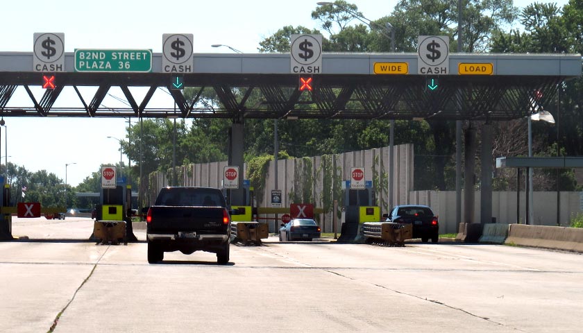
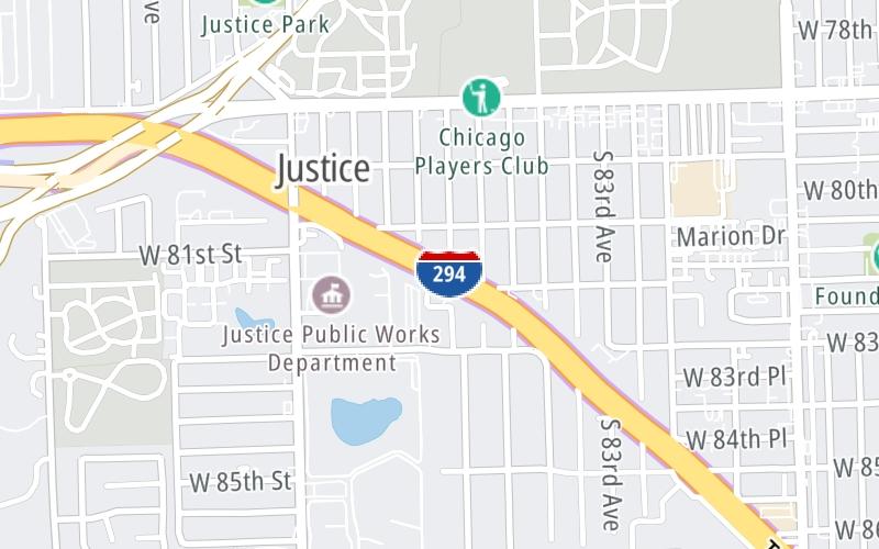
This toll point is located in Chicago. Justice is nearby. NOTE: Plaza 36 / SB Only.
This location is in the Chicagoland - Northwestern Indiana area.
This location's approximate GPS Coordinates are 41.74238 x -87.83277.
On to West 95th Street/US 20, about 2.0 miles away ►
◄ Back to Archer Avenue / LaGrange Road, about 1.0 mile away.
Above: Photo by Turnpikes.comUsing The POI Map
The interactive map will help you orient this location in relationship to other junctions.
Current driving conditions and weather may also be found below the map.


 Chicago Skyway ▹
 Jane Addams Memorial Tollway ▹
 Ronald Reagan Memorial Tollway ▹
 Tri State Tollway ▹
 Veterans Memorial Tollway ▹
 Cline Avenue Bridge ▹
 Houbolt Road Extension ▹
 Indiana Toll Road ▹
 Ohio Turnpike ▹


