This Location At A Glance
This toll point is located in Middletown.
This location is in the Wilmington - Newark area.
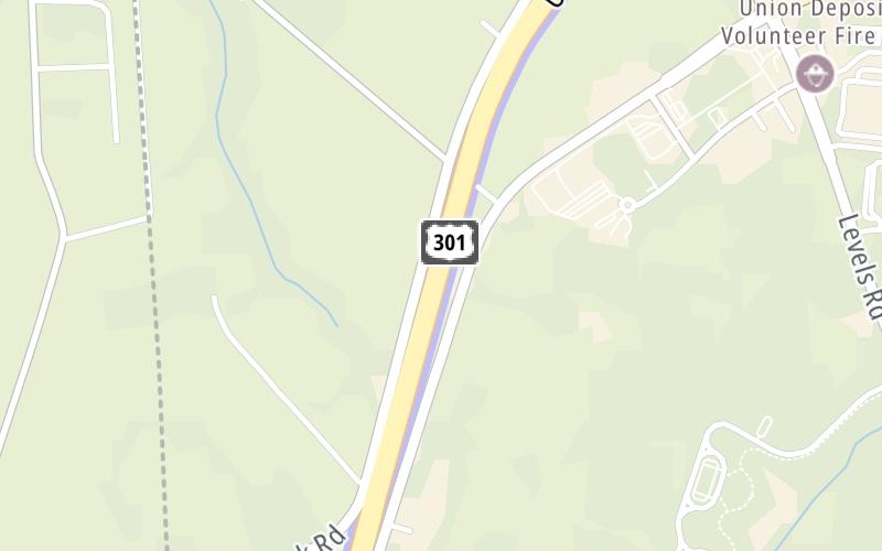
Map image © TomTom Intl BV
This location's approximate GPS Coordinates are 39.43270 x -75.75978.
On to Warwick Road/Levels Road, about 1.0 mile away ►
◄ Back to Delaware/Maryland State Line, about 1.5 miles away.
Nearby gas and food are shown on the interactive map below.
Weather & Visibility

Drizzle
45°F / 7°C
Feels Like
43°F / 6°C

Visibility
2 Mi / 2.4 Km
3 Hr Precip
0.01 In / 0.0 Cm

-
ENE Wind
4.5 Mi / 7.2 Km
Gusts
9 Mi / 14.4 Km
See the full forecast for the Wilmington - Newark area
Conditions and forecasts provided in partnership with AccuWeather.

Weather provided in partnership with AccuWeather.
Available Cameras
No camera feed …
There is no currently-available traffic camera feed for this location.
Advertising


 Delaware Memorial Bridge ▹
 Delaware Turnpike ▹
 State Route 1 ▹
 US 301 ▹
 John F Kennedy Memorial Highway ▹

 Atlantic City Expressway ▹
 Garden State Parkway ▹
 New Jersey Turnpike ▹
 Pennsylvania Turnpike ▹
 Benjamin Franklin Bridge ▹
 Walt Whitman Bridge ▹
 Commodore Barry Bridge ▹
 Betsy Ross Bridge ▹
 Scudder Falls Toll Bridge ▹
 Trenton Morrisville Toll Bridge ▹
 Tacony Palmyra Bridge ▹
 Burlington Bristol Bridge ▹


