This Location At A Glance
This toll point is located in Dover.
This location is in the Dover - Dover AFB area.
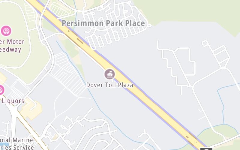
Map image © TomTom Intl BV
This location's approximate GPS Coordinates are 39.18503 x -75.51448.
On to SR 8 / US 13 / Dover Intl Speedway, about 2.1 miles away ►
◄ Back to State Route 8, about 1.8 miles away.
Nearby gas and food are shown on the interactive map below.
Weather & Visibility

Sunny
83°F / 28.3°C
Feels Like
79°F / 26.4°C

Visibility
10 Mi / 16.1 Km
3 Hr Precip
0 In / 0.0 Cm

-
WSW Wind
29.9 Mi / 48.2 Km
Gusts
36.8 Mi / 59.3 Km
See the full forecast for the Dover - Dover AFB area
Conditions and forecasts provided in partnership with AccuWeather.

Weather provided in partnership with AccuWeather.
Available Cameras
No camera feed …
There is no currently-available traffic camera feed for this location.
Advertising


 Delaware Memorial Bridge ▹
 Delaware Turnpike ▹
 State Route 1 ▹
 US 301 ▹
 John F Kennedy Memorial Highway ▹

 Atlantic City Expressway ▹
 Garden State Parkway ▹
 New Jersey Turnpike ▹
 Pennsylvania Turnpike ▹
 Benjamin Franklin Bridge ▹
 Walt Whitman Bridge ▹
 Commodore Barry Bridge ▹
 Betsy Ross Bridge ▹
 Scudder Falls Toll Bridge ▹
 Trenton Morrisville Toll Bridge ▹
 Tacony Palmyra Bridge ▹
 Burlington Bristol Bridge ▹


