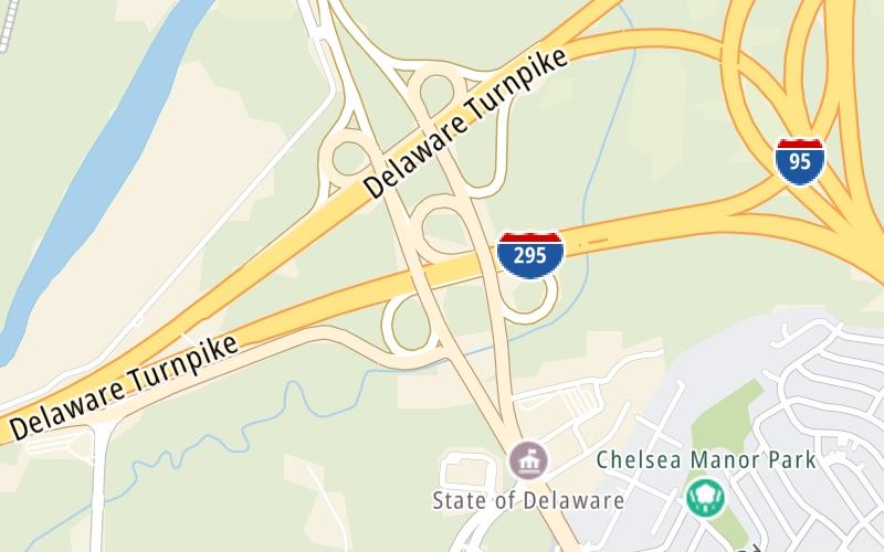
This Location At A Glance
This is Exit 5 of the Delaware Turnpike.
This junction is located in New Castle. Newport is nearby.
This location is in the Wilmington - Newark area; it also overlaps with the South Jersey - Philadelphia area.
This location's approximate GPS Coordinates are 39.69992 x -75.60305.
Which directions can I travel from here?
From this junction, traffic can enter traveling both southbound and northbound. Traffic can also exit traveling both southbound and northbound.
On to US 13 / N Dupont Pkwy, about 1.5 miles away ►
◄ Back to SR 1 / SR 7 / SR 58 / Christian Crossing, about 3.2 miles away.
This location also connects with New Jersey.
Nearby gas and food are shown on the interactive map below.
Weather & Visibility

Mostly Cloudy
81°F / 27.2°C
Feels Like
87°F / 30.5°C

Visibility
10 Mi / 16.1 Km
3 Hr Precip
0 In / 0.0 Cm

-
N Wind
3.5 Mi / 5.6 Km
Gusts
16.1 Mi / 25.9 Km
See the full forecast for This Location or the Wilmington - Newark area
Conditions and forecasts provided in partnership with AccuWeather.

Weather provided in partnership with AccuWeather.
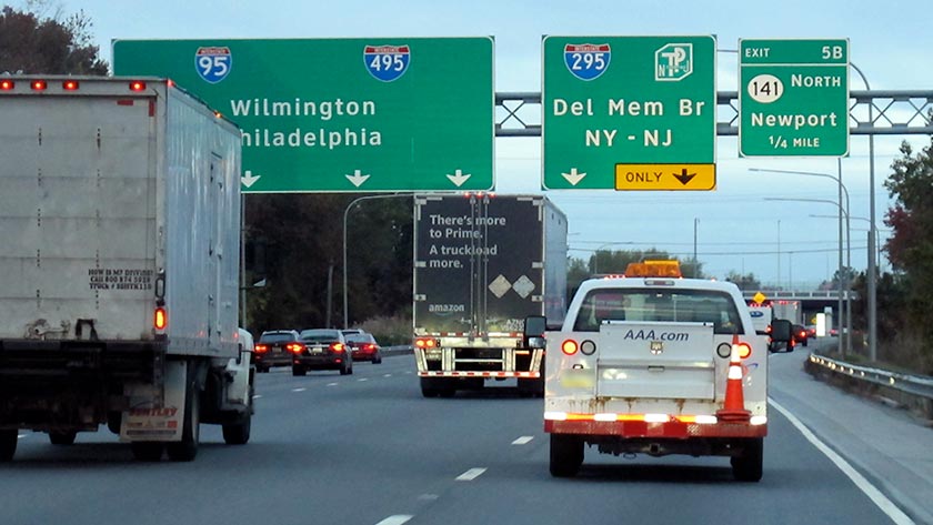
Available Cameras
No camera feed …
There is no currently-available traffic camera feed for this location.


 Delaware Memorial Bridge ▹
 Delaware Turnpike ▹
 State Route 1 ▹
 US 301 ▹
 John F Kennedy Memorial Highway ▹

 Atlantic City Expressway ▹
 Garden State Parkway ▹
 New Jersey Turnpike ▹
 Pennsylvania Turnpike ▹
 Benjamin Franklin Bridge ▹
 Walt Whitman Bridge ▹
 Commodore Barry Bridge ▹
 Betsy Ross Bridge ▹
 Scudder Falls Toll Bridge ▹
 Trenton Morrisville Toll Bridge ▹
 Tacony Palmyra Bridge ▹
 Burlington Bristol Bridge ▹