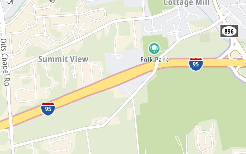
This Location At A Glance
This toll point is located in Newark. Glasgow is nearby.
This location is in the Wilmington - Newark area.
This location's approximate GPS Coordinates are 39.64536 x -75.76350.
On to SR 896 / S College Ave, about 0.8 miles away ►
◄ Back to JFK Memorial Hwy, about 1.4 miles away.
Nearby gas and food are shown on the interactive map below.
Weather & Visibility

Thunderstorm
78°F / 25.4°C
Feels Like
74°F / 23.1°C

Visibility
2 Mi / 2.8 Km
3 Hr Precip
0.15 In / 0.4 Cm

-
WNW Wind
5 Mi / 8 Km
Gusts
9.9 Mi / 16 Km
See the full forecast for the Wilmington - Newark area
Conditions and forecasts provided in partnership with AccuWeather.

Weather provided in partnership with AccuWeather.
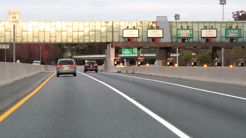
Available Cameras
No camera feed …
There is no currently-available traffic camera feed for this location.


 Delaware Memorial Bridge ▹
 Delaware Turnpike ▹
 State Route 1 ▹
 US 301 ▹
 John F Kennedy Memorial Highway ▹

 Atlantic City Expressway ▹
 Garden State Parkway ▹
 New Jersey Turnpike ▹
 Pennsylvania Turnpike ▹
 Benjamin Franklin Bridge ▹
 Walt Whitman Bridge ▹
 Commodore Barry Bridge ▹
 Betsy Ross Bridge ▹
 Scudder Falls Toll Bridge ▹
 Trenton Morrisville Toll Bridge ▹
 Tacony Palmyra Bridge ▹
 Burlington Bristol Bridge ▹