Search to find available roads, plazas, agencies, etc.
Washington's Toll Road Maps
The list includes six toll roads within or crossing into the state of Washington.
A menu of Washington's interstates is also shown below.
 Bridge Of The Gods
  Hood River Bridge
  SR 509 Expressway
 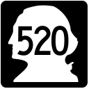 SR 520 Bridge
  SR 99 Tunnel
  Tacoma Narrows Bridge
 Regional Toll Road MapsToll Roads By Type
Washington Interstates
Simply scroll and tap the shield for the interstate you want.
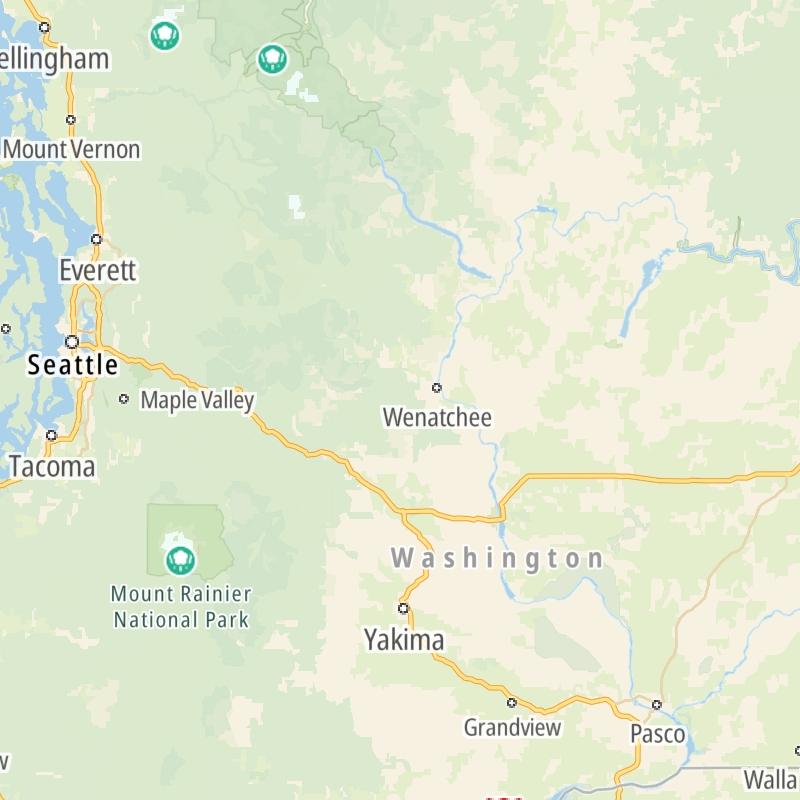
Driving In The State Of Washington
Washington's toll roads maps are organized alphabetically and by the type of road. You can find city and regional toll roads below. Interstates are sorted by number.

 Tacoma Narrows Bridge ▹
 SR 99 Tunnel ▹
 SR 520 Bridge ▹


