SR 509 Expressway Traffic And Weather

Current Weather And Visibility

Key Regions Along The SR 509 Expressway

Conditions and forecasts provided in partnership with AccuWeather.

AccuWeather logo

Weather provided in partnership with AccuWeather.

AccuWeather logo
SR 509 Expressway static map

Washington Radar & Satellite

NOAA composite satellite & weather radar imagery.

Images from GOES-West Pacific Northwest Sector. Sequence may take a moment to initialize.

  • GOES 18: GOES-West Pacific Northwest Sector
  • GOES 18: GOES-West Pacific Northwest Sector
  • GOES 18: GOES-West Pacific Northwest Sector
  • GOES 18: GOES-West Pacific Northwest Sector
  • GOES 18: GOES-West Pacific Northwest Sector
  • GOES 18: GOES-West Pacific Northwest Sector
  • GOES 18: GOES-West Pacific Northwest Sector
  • GOES 18: GOES-West Pacific Northwest Sector

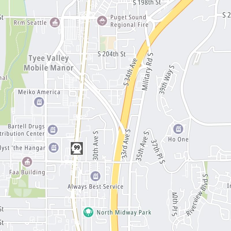
Weather & Travel Conditions With The Road Map

The SR 509 Expressway is also known as 509. This local toll road serves multiple communities, including Seatac, Des Moines, Normandy Park, and Seattle. Use the interactive map of the SR 509 Expressway to pick a location for destination weather.

Pan and zoom the interactive map to your chosen position. Markers depict exits or tolling points, and selecting the marker lets you get location-specific weather and traffic conditions.

View Map Regional Forecasts

Advertising
Advertising

The SR 509 Expressway Road Map

Select markers on the map for location-specific traffic and weather conditions along the SR 509 Expressway.

Advertising
Advertising

Travel Alerts

Advertising
Advertising

EXPLORE WASHINGTON

Journey to key destinations around and adjacent to Washington!

Map Of This Region ▹

Communities in this metro area include Seattle, Tacoma, Bellevue, Redmond, Kirkland, Artondale, and University Place.

Individual toll maps for this region are listed below.

Advertising
Advertising
Turnpikes.com is proud to partner with the following: