A Quick Look At The SR 520 Bridge
This bridge serves Seattle, Bellevue, Clyde Hill, and Hunts Point.
This road is in the Seattle - Tacoma area.
A complete list of exits can be found below.
Latest Travel Alert
CLOSURE - SR 520 Bridge
Friday May 29, 2026 — Monday June 1, 2026
Between mile markers 0 and 1: Eastbound SR 520 will close between I-5 and Montlake Boulevard while crews finish building a new, temporary off-ramp to Montlake Boulevard, which will open on June 8. The closures last from 11 p.m. on Friday, May 29, until 5 a.m. Monday, June 1. Full details below
Impacted area(s):
How To Pay On the SR 520 Bridge
Accepted types of payment taken while on the road
Tag
Plate
Cash
Card
App
Available when checked
The SR 520 Bridge offers license-plate tolling for those without a compatible transponder.
Transponders You Can Use
For drivers with a transponder, the following passes can be used on the SR 520 Bridge

- good to go

Learn about transponders and accounts in Washington.
View MapToll CalculatorAll Washington Tolls
Our new toll and trip calculator is complete, but many roads' data are still being entered into our database. The legacy calculator remains active for current, accurate tolls.
 Washington State Department of Transportation
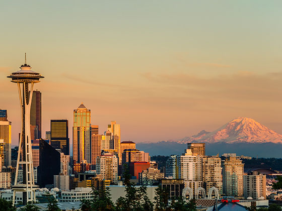
 Tacoma Narrows Bridge ▹
 SR 99 Tunnel ▹
 SR 520 Bridge ▹


