Current Weather And Visibility
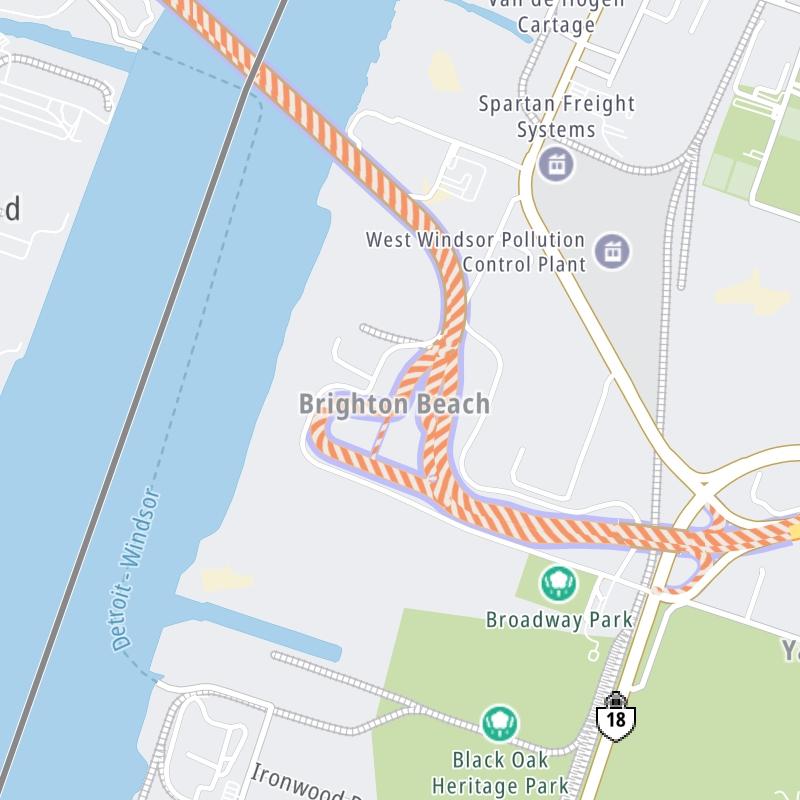
Key Regions Along The Gordie Howe International Bridge
Conditions and forecasts provided in partnership with AccuWeather.

Weather provided in partnership with AccuWeather.
Ontario Radar & Satellite
NOAA composite satellite & weather radar imagery.
Images from GOES-East Canada/Northern U.S. Sector. Sequence may take a moment to initialize.

Weather & Travel Conditions With The Road Map
This bridge serves Windsor and Detroit. Use the interactive map of the Gordie Howe International Bridge to pick a location for destination weather.
Pan and zoom the interactive map to your chosen position. Select markers to view conditions at that location and see nearby available traffic cameras along the bridge.

 Peace Bridge ▹
 Rainbow Bridge ▹
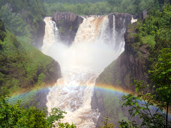
 Mackinac Bridge ▹
 Ambassador Bridge ▹
 Detroit Windsor Tunnel ▹
 New York State Thruway ▹
 Niagara Thruway ▹


 Liberty Bridge ▹
 Independence Bridge ▹