Cleveland Traffic And Weather

Static map of Cimarron Turnpike at SH 48 / US 64

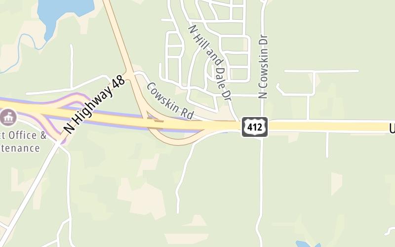
Right Now At SH 48 / US 64 and The Cimarron Turnpike

Current Weather And Visibility

10:51 am Local Time

  • 10 7 04
  • Mostly Sunny

    69°F / 20.6°C

    Feels Like:

    78°F / 25.8°C

  • Visibility

    11 Mi / 17.7 Km

    3-Hour Precip:

    0 In / 0.0 Cm

  • West Southwest
    Winds (WSW)

    1.2 MPH / 2 KPH

    Gusts:

    2.9 MPH / 4.6 KPH

Conditions and forecasts provided in partnership with AccuWeather.

AccuWeather logo

Weather provided in partnership with AccuWeather.

AccuWeather logo

Forecast weather and driving conditions follow the jump. These include an hour-by-hour forecast for the next 12-hours, a three-day forecast and an extended forecast, for extended travel planning.

An area traffic map, with available traffic cameras, shows driving conditions, from current traffic to mother nature's influence on the road. These follow the short-range forecasts below.

Driving Forecast Traffic Map

Advertising
Advertising

Driving Forecast For Cleveland, At SH 48 / US 64

Next 12 Hours

10:51 am Local Time

Conditions and forecasts provided in partnership with AccuWeather.

AccuWeather logo

Weather provided in partnership with AccuWeather.

AccuWeather logo

Available Cameras

No camera feed …

There is no currently-available traffic camera feed for this location.

Next Three (3) Days

Friday April 25

Friday forecast: Mostly cloudy with a couple of showers and a thunderstorm; thunderstorms can bring hail and damaging winds

Thunderstorms

88% Chance Rain

78° F/25.6° C

E Wind

6 to 8 Mi/

9 to 13 Km

Sunrise

6:40 AM

Friday night: Mostly cloudy with a couple of showers and a thunderstorm; thunderstorms can bring hail and damaging winds

Thunderstorms

65% Chance Rain

61° F/16.1° C

ENE Wind

8 to 17 Mi/

13 to 28 Km

Sunset

8:08 PM

Saturday April 26

Saturday forecast: Mostly cloudy with a couple of thunderstorms; thunderstorms can bring hail and damaging winds

Thunderstorms

88% Chance Rain

70° F/21.1° C

ENE Wind

8 to 18 Mi/

13 to 30 Km

Sunrise

6:38 AM

Saturday night: Mostly cloudy with a couple of thunderstorms; thunderstorms can bring hail and damaging winds

Thunderstorms

68% Chance Rain

63° F/17.2° C

ESE Wind

8 to 17 Mi/

13 to 28 Km

Sunset

8:08 PM

Sunday April 27

Sunday forecast: Mostly cloudy and warmer; humid in the morning with a thunderstorm, breezy in the afternoon

Thunderstorms

57% Chance Rain

80° F/26.7° C

SSE Wind

13 to 28 Mi/

20 to 44 Km

Sunrise

6:37 AM

Sunday night: Mostly cloudy and warmer; humid in the morning with a thunderstorm, breezy in the afternoon

Partly Cloudy

4% Chance Rain

67° F/19.4° C

S Wind

14 to 27 Mi/

22 to 43 Km

Sunset

8:09 PM

Advertising
Advertising

Area Traffic Map

This junction is located in Cleveland, at GPS 36.21688 x -96.38191. This location is in the Oklahoma State University area; it also overlaps with the Tulsa area.

You can pan and zoom the interactive map. Select cameras to see the on-road traffic feeds, and pick exits or other markers for conditions at those locations.

Advertising
Advertising

Extended Forecast For Cleveland, At SH 48 / US 64

Ten (10) Day Travel Planner

Go Online Before You Go On The Road!®

Conditions and forecasts provided in partnership with AccuWeather.

AccuWeather logo

Weather provided in partnership with AccuWeather.

AccuWeather logo
Advertising
Advertising

EXPLORE OKLAHOMA

Journey to key destinations around and adjacent to Oklahoma!

Map Of This Region ▹

Communities in this metro area include Tulsa, Broken Arrow, Muskogee, Stillwater, Sapulpa, Vinita, Joplin, Missouri, Siloam Springs, Arkansas, and San Springs.

Individual toll maps for this region are listed below.

Map Of This Region ▹

Communities in this metro area include Stillwater and Tulsa.

Individual toll maps for this region are listed below.

Map Of This Region ▹

Communities in this metro area include Oklahoma City, Choctaw, Norman, Shawnee, Henryetta, Edmond, and Chickasha.

Individual toll maps for this region are listed below.

Map Of This Region ▹

Communities in this metro area include Lawton, Fort Sill, Geronimo, and Cache.

Individual toll maps for this region are listed below.

Map Of This Region ▹

Communities in this metro area include Dallas, Fort Worth, Plano, Addison, Frisco, Grand Prairie, Arlington, Carrrollton, and Lake Dallas.

Individual toll maps for this region are listed below.

Map Of This Region ▹

Communities in this metro area include Wichita, Bel Aire, Andover, Valley Center, and Maize.

Individual toll maps for this region are listed below.

Advertising
Advertising
Turnpikes.com is proud to partner with the following: