This Location At A Glance
This toll point is located in Windsor. NOTE: Canada to US toll point.
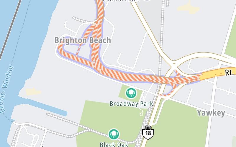
Map image © TomTom Intl BV
This location's approximate GPS Coordinates are 42.27347 x -83.08677.
On to Exit to ON 401 / Rt. Hon. Herb Gray Pkwy, about 0.4 miles away ►
◄ Back to Toll plaza inbound, about 0.0 miles away.
Nearby gas and food are shown on the interactive map below.
Weather & Visibility

Cloudy
52°F / 11°C
Feels Like
54°F / 12.2°C

Visibility
10 Mi / 16.1 Km
3 Hr Precip
0 In / 0.0 Cm

-
WNW Wind
6 Mi / 9.7 Km
Gusts
9.4 Mi / 15.2 Km
Conditions and forecasts provided in partnership with AccuWeather.

Weather provided in partnership with AccuWeather.
Available Cameras

2.46 Mi
2.65 Mi
3.20 Mi
3.22 Mi
3.42 Mi
Advertising


 Peace Bridge ▹
 Rainbow Bridge ▹
 Mackinac Bridge ▹
 Ambassador Bridge ▹
 Detroit Windsor Tunnel ▹
 New York State Thruway ▹
 Niagara Thruway ▹


 Liberty Bridge ▹
 Independence Bridge ▹