Share

Gordie Howe International Bridge At US Customs (CBP) Commercial Lanes

Advertising
Advertising

This Location At A Glance

This junction is located in Detroit. NOTE: U.S. Customs and Border Protection.

US Customs (CBP) commercial lanes
Map image © TomTom Intl BV

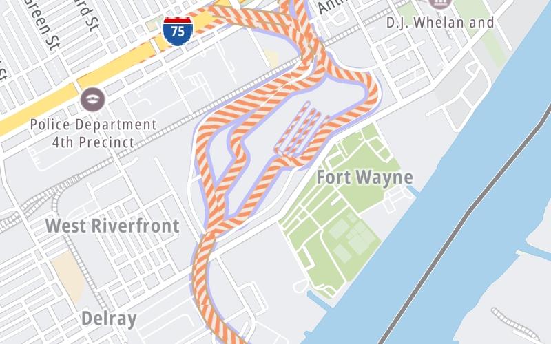
This location's approximate GPS Coordinates are 42.29969 x -83.10157.

Interactive Map Below


Which directions can I travel from here?

From this junction, traffic can only enter going westbound. Traffic can only exit going westbound.

On to USA / Canada border, about 1.1 miles away ►

◄ Back to US Customs (CBP) passenger lanes, about 0.0 miles away.

This location also connects with Michigan.

Nearby gas and food are shown on the interactive map below.

View Map

Weather & Visibility

  • 19 7 04
  • Cloudy

    53°F / 11.5°C

    Feels Like

    52°F / 11.2°C

  • Visibility

    10 Mi / 16.1 Km

    3 Hr Precip

    0 In / 0.0 Cm

  • WNW Wind

    6.6 Mi / 10.6 Km

    Gusts

    11.1 Mi / 17.8 Km


Available Cameras

I-75 @ JUNCTION ST

Camera direction: NORTH. Detroit 48209.
Source: MDOT.

Camera direction: NORTH. Detroit 48209.<br />Source: MDOT -

0.83 Mi

Camera direction: NORTH. Detroit 48209.<br />Source: MDOT -

1.46 Mi

Camera direction: NORTH. Detroit 48216.<br />Source: MDOT -

1.73 Mi

Camera direction: NORTH. Detroit 48216.<br />Source: MDOT -

1.73 Mi

Camera direction: NORTH. Detroit 48216.<br />Source: MDOT -

1.90 Mi

Advertising

Closest Food, Gas, EV And Other Services Near US Customs (CBP) commercial lanes

The interactive map shows traffic cameras and services within about a two-mile radius. Not all locations have cameras.

Advertising

Discover Ontario Attractions

Hotels and destinations header

Hotels & Airports

Destination Travel

Advertising
Advertising

EXPLORE ONTARIO

Journey to key destinations around and adjacent to Ontario!

Map Of This Region ▹

Communities in this metro area include Toronto, Niagara Falls, Hamilton, and Mississauga.

Individual toll maps for this region are listed below.

Map Of This Region ▹

Communities in this metro area include Sault Ste Marie, Thunder Bay, Fort Frances, and Greater Sudbury.

Individual toll maps for this region are listed below.

Map Of This Region ▹

Communities in this metro area include Windsor.

Individual toll maps for this region are listed below.

Map Of This Region ▹

Communities in this metro area include Buffalo, Batavia, Rochester, Amherst, Niagara Falls, and Niagara Falls, Ontario.

Individual toll maps for this region are listed below.

Map Of This Region ▹

Communities in this metro area include Detroit, Grosse Ile, Ann Arbor, Pontiac, and Lansing.

Individual toll maps for this region are listed below.

Map Of This Region ▹

Communities in this metro area include St Ignace and Sault Ste Marie.

Individual toll maps for this region are listed below.

Map Of This Region ▹

Communities in this metro area include Port Huron, Flint, Saginaw, and Bay City.

Individual toll maps for this region are listed below.

Map Of This Region ▹

Communities in this metro area include Duluth and International Falls.

Individual toll maps for this region are listed below.

Static map of Gordie Howe International Bridge at US Customs (CBP) commercial lanes

Static map. Interactive map is above.

Advertising
Advertising
Turnpikes.com is proud to partner with the following: