This Location At A Glance
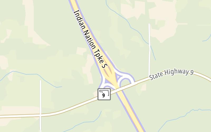
This toll point is located in Dustin.
This location is in the Oklahoma City area.
Map image © TomTom Intl BV
This location's approximate GPS Coordinates are 35.26984 x -95.93539.
On to I–40 / US 62, about 12.0 miles away ►
◄ Back to OK 9, about 0.2 miles away.
Nearby gas and food are shown on the interactive map below.
Weather & Visibility

Partly Cloudy
47°F / 8.5°C
Feels Like
48°F / 8.6°C

Visibility
13 Mi / 20.9 Km
3 Hr Precip
0 In / 0.0 Cm

-
NNW Wind
3.7 Mi / 5.9 Km
Gusts
5.3 Mi / 8.6 Km
See the full forecast for the Oklahoma City area
Conditions and forecasts provided in partnership with AccuWeather.

Weather provided in partnership with AccuWeather.
Available Cameras
No camera feed …
There is no currently-available traffic camera feed for this location.
Advertising


 Cherokee Turnpike ▹
 Creek Turnpike ▹
 Muskogee Turnpike ▹
 Turner Turnpike ▹
 Will Rogers Turnpike ▹
 Gilcrease Expressway West ▹

 H E Bailey Turnpike ▹
 Indian Nation Turnpike ▹
 John Kilpatrick Turnpike ▹
 Kickapoo Turnpike ▹
 Chickasaw Turnpike ▹

 Addison Airport Toll Tunnel ▹
 Chisholm Trail Parkway ▹
 Dallas North Tollway ▹
 Lewisville Lake Toll Bridge ▹
 Mountain Creek Lake Toll Bridge ▹
 President George Bush Turnpike ▹
 Sam Rayburn Tollway ▹
 360 Tollway ▹
 Kansas Turnpike ▹


