This Location At A Glance
This travel plaza is located in Stroud. NOTE: WB Only.
This location is in the Tulsa area; it also overlaps with the Oklahoma City area.
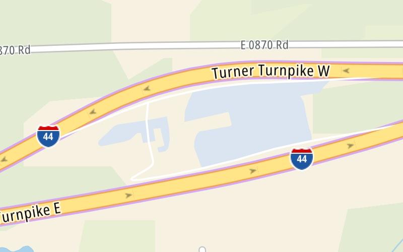
This location's approximate GPS Coordinates are 35.75192 x -96.68932.
On to SH 99 / US 377, about 1.3 miles away ►
◄ Back to Chandler Concession Plaza, about 9.1 miles away.
Nearby gas and food are shown on the interactive map below.
Weather & Visibility

Sunny
88°F / 30.9°C
Feels Like
85°F / 29.4°C

Visibility
26 Mi / 41.8 Km
3 Hr Precip
0 In / 0.0 Cm

-
S Wind
14 Mi / 22.6 Km
Gusts
20 Mi / 32.2 Km
See the full forecast for This Location or the Tulsa area
Conditions and forecasts provided in partnership with AccuWeather.

Weather provided in partnership with AccuWeather.
Available Cameras
No camera feed …
There is no currently-available traffic camera feed for this location.


 Cherokee Turnpike ▹
 Creek Turnpike ▹
 Muskogee Turnpike ▹
 Turner Turnpike ▹
 Will Rogers Turnpike ▹
 Gilcrease Expressway West ▹

 H E Bailey Turnpike ▹
 Indian Nation Turnpike ▹
 John Kilpatrick Turnpike ▹
 Kickapoo Turnpike ▹
 Chickasaw Turnpike ▹

 Addison Airport Toll Tunnel ▹
 Chisholm Trail Parkway ▹
 Dallas North Tollway ▹
 Lewisville Lake Toll Bridge ▹
 Mountain Creek Lake Toll Bridge ▹
 President George Bush Turnpike ▹
 Sam Rayburn Tollway ▹
 360 Tollway ▹
 Kansas Turnpike ▹


