Share

Massachusetts Turnpike At Westfield Toll Gantry

Advertising
Advertising

About This Location

Westfield Toll Gantry
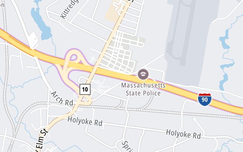
Map image © TomTom Intl BV

At A Glance

This toll point is located in Westfield. NOTE: Gantry 040 Westfield East / Gantry 540 Westfield West.

Interactive Map Below

This location's approximate GPS Coordinates are 42.14367 x -72.72756.

On to I-91 / US 5, about 4.3 miles away ►

◄ Back to US 202, about 0.3 miles away.

View Map Travel Conditions

Advertising
Advertising

Interactive POI Map

The interactive map will help you orient this location in relationship to other junctions.

Current driving conditions and weather may be found below.

Advertising
Advertising

Travel Conditions At Westfield Toll Gantry

Current Weather And Visibility

  • 13 7 12
  • Light Snow

    29°F / -1.7°C

    Feels Like:

    32°F / -0°C

  • Visibility

    2 Mi / 3.2 Km

    3-Hour Precip:

    0 In / 0.0 Cm

  • South Southwest
    Winds (SSW)

    1.2 MPH / 1.9 KPH

    Gusts:

    3.3 MPH / 5.3 KPH

Available Cameras

I-90-WB-MM40.9-WESTFIELD-@ MSP BARRACKS [TZ-3]

Camera direction: WEST. Boston 01085.
Source: MassDOT.

Camera direction: WEST. Boston 01085.<br />Source: MassDOT -

532 Ft

Advertising
Advertising

Pictures At Westfield Toll Gantry

No photos …

There are no currently-available photos for this location.

Advertising
Advertising

Discover Massachusetts Attractions

Hotels and destinations header

Hotels & Airports

Destination Travel

Advertising
Advertising

EXPLORE MASSACHUSETTS

Journey to key destinations around and adjacent to Massachusetts!

Map Of This Region ▹

Communities in this metro area include Boston, Cambridge, Chelsea, Allston, Framingham, Westborough, and Worcester.

Individual toll maps for this region are listed below.

Map Of This Region ▹

Communities in this metro area include Springfield, West Springfield, Chicopee, Westfield, and Hartford, Connecticut.

Individual toll maps for this region are listed below.

Map Of This Region ▹

Communities in this metro area include Hooksett, Concord, Manchester, and West Concord.

Individual toll maps for this region are listed below.

Map Of This Region ▹

Communities in this metro area include Albany, Schenectady, Rotterdam, Amsterdam, and West Stockbridge, Massachusetts.

Individual toll maps for this region are listed below.

Static map of Massachusetts Turnpike at Westfield Toll Gantry

Static map. Interactive map is above.

Advertising
Advertising
Turnpikes.com is proud to partner with the following: