Share

Massachusetts Turnpike At I-90 EB To South Station

Advertising
Advertising

This Location At A Glance

This is Exit 134A of the Massachusetts Turnpike.

This junction is located in Boston. NOTE: (Old Exit 24A) EB Off Only.

This location is in the Boston area.

I-90 EB To South Station
Map image © TomTom Intl BV

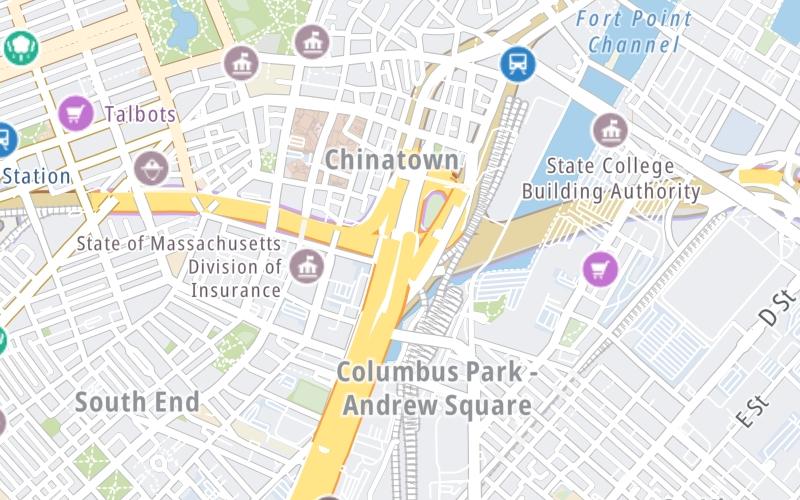
This location's approximate GPS Coordinates are 42.34636 x -71.06030.

Interactive Map Below


Which directions can I travel from here?

From this junction, traffic can only exit going eastbound.

On to I-90 WB To I-93 NB/SB, about 0.6 miles away ►

◄ Back to I-90 EB To I-93 NB, about 0.1 miles away.

Nearby gas and food are shown on the interactive map below.

View Map

Weather & Visibility

  • 03 7 02
  • Mostly Cloudy

    34°F / 1.1°C

    Feels Like

    23°F / -5.2°C

  • Visibility

    10 Mi / 16.1 Km

    3 Hr Precip

    0 In / 0.0 Cm

  • W Wind

    12.7 Mi / 20.4 Km

    Gusts

    12.7 Mi / 20.4 Km


Available Cameras

RAMPX-SB-MM0.1-BOSTON-KNEELAND TO HOV-E B

Camera direction: SOUTH. Boston 02108.
Source: MassDOT.

Camera direction: SOUTH. Boston 02108.<br />Source: MassDOT -

51 Ft

Camera direction: EAST. Boston 02108.<br />Source: MassDOT -

140 Ft

Camera direction: EAST. Boston 02108.<br />Source: MassDOT -

232 Ft

Camera direction: NORTH. Boston 02108.<br />Source: MassDOT -

308 Ft

Camera direction: NORTH. Boston 02108.<br />Source: MassDOT -

516 Ft

Advertising

Closest Food, Gas, EV And Other Services Near I-90 EB To South Station

The map shows traffic cameras and services in about a two-mile radius. Not all locations have cameras

Advertising

Discover Massachusetts Attractions

Hotels and destinations header

Hotels & Airports

Destination Travel

Advertising
Advertising

EXPLORE MASSACHUSETTS

Journey to key destinations around and adjacent to Massachusetts!

Map Of This Region ▹

Communities in this metro area include Boston, Cambridge, Chelsea, Allston, Framingham, Westborough, and Worcester.

Individual toll maps for this region are listed below.

Map Of This Region ▹

Communities in this metro area include Springfield, West Springfield, Chicopee, Westfield, and Hartford, Connecticut.

Individual toll maps for this region are listed below.

Map Of This Region ▹

Communities in this metro area include Hooksett, Concord, Manchester, and West Concord.

Individual toll maps for this region are listed below.

Map Of This Region ▹

Communities in this metro area include Albany, Schenectady, Rotterdam, Amsterdam, and West Stockbridge, Massachusetts.

Individual toll maps for this region are listed below.

Static map of Massachusetts Turnpike at I-90 EB To South Station

Static map. Interactive map is above.

Advertising
Advertising
Turnpikes.com is proud to partner with the following: