Interactive map shows available cameras, plus nearby fuel, food and lodging
See below for more about this area
This junction is located in Boston. NOTE: WB On Only.
This location is in the Boston area.
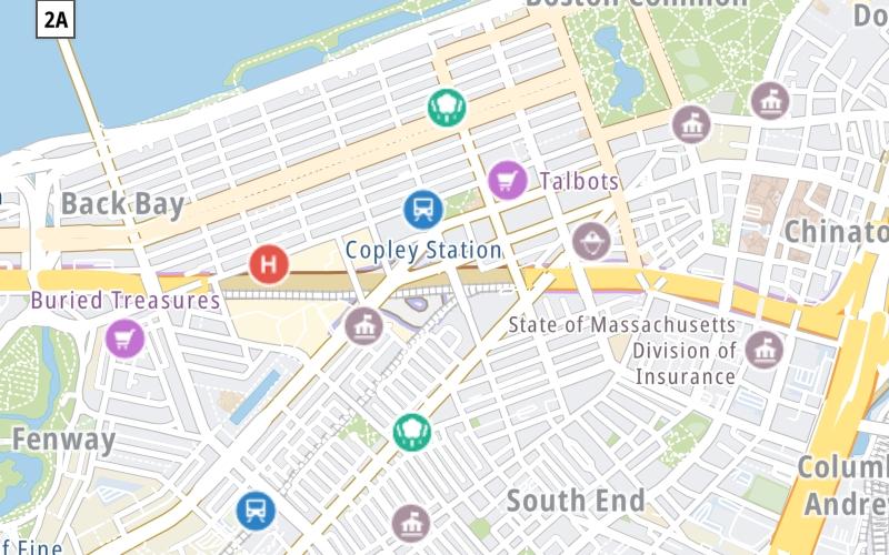
This location's approximate GPS Coordinates are 42.34792 x -71.07664.
Which directions can I travel from here?
From this junction, traffic can only enter going westbound.
On to Arlington Street, about 0.5 miles away ►
◄ Back to Dartmouth St. / Copley Pl., about 0.0 miles away.
Which direction are tolls charged here?
Tolls are not charged or collected at this junction.
The interactive map and lists on this page include key traveler services within two miles of this destination point.
You will find common services, including gas stations, truck stops, EV charging facilities, fast-food or family restaurants, and hotels. These are displayed on the interactive map as markers, which you can select for more information.
Current driving conditions and weather, along with a more complete list of key services, may be found below the map.
Static map. Interactive map is above.Partly Sunny
82°F / 28°C
Feels Like:
90°F / 32.4°C
Visibility
10 Mi / 16.1 Km
3-Hour Precip:
0 In / 0.0 Cm
West Southwest
Winds (WSW)
1.7 MPH / 2.8 KPH
Gusts:
5.1 MPH / 8.3 KPH
▸ Get the full forecast for This Location | The Boston area
There are no currently-available photos for this location.
The map above shows all services within about a two (2) mile radius.
Destination Travel
Closest Gas Stations
No gas or other fuel stations nearby.
Closest EV Chargers
Closest Fast Food
Fast food refers ONLY to quick-service and take-out diners. All restaurant types are shown on the map above.
AU BON PAIN
100 Belvidere Street • 0.38 miles
WENDY'S
549-551 Boylston Street • 1,025 feet
DIG
557 Boylston Street • 1,028 feet
CHIPOTLE
553 Boylston Street • 1,039 feet
SMASHBURGER
545 Boylston Street • 1,072 feet
DUNKIN'
715 Boylston Street • 1,087 feet
LEVAIN BAKERY-BACK BAY BOSTON
180 Newbury Street • 1,099 feet
FINAGLE-A-BAGEL
535 Boylston Street • 1,122 feet
Journey to key destinations around and adjacent to Massachusetts!
Communities in this metro area include Boston, Cambridge, Chelsea, Allston, Framingham, Westborough, and Worcester.
Individual toll maps for this region are listed below.
Communities in this metro area include Springfield, West Springfield, Chicopee, Westfield, and Hartford, Connecticut.
Individual toll maps for this region are listed below.
Communities in this metro area include Hooksett, Concord, Manchester, and West Concord.
Individual toll maps for this region are listed below.
Communities in this metro area include Albany, Schenectady, Rotterdam, Amsterdam, and West Stockbridge, Massachusetts.
Individual toll maps for this region are listed below.