This Location At A Glance
This toll point is located in Boston. NOTE: Gantry 131 Allston East / Gantry 631 Allston West.
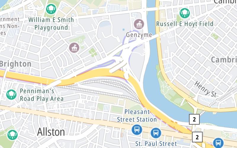
This location is in the Boston area.
Map image © TomTom Intl BV
This location's approximate GPS Coordinates are 42.35139 x -71.11242.
On to Cambridge Street, about 0.2 miles away ►
◄ Back to Cambridge Street, about 3.7 miles away.
Nearby gas and food are shown on the interactive map below.
Weather & Visibility

Rain
40°F / 4.2°C
Feels Like
37°F / 2.5°C

Visibility
10 Mi / 16.1 Km
3 Hr Precip
0.16 In / 0.4 Cm

-
NE Wind
4 Mi / 6.5 Km
Gusts
10.6 Mi / 17 Km
See the full forecast for the Boston area
Conditions and forecasts provided in partnership with AccuWeather.

Weather provided in partnership with AccuWeather.
Available Cameras

68 Ft
1.34 Mi
2.37 Mi
2.49 Mi
2.57 Mi
Advertising


 Massachusetts Turnpike ▹
 Sumner & Callahan Tunnels ▹
 Ted Williams Tunnel ▹
 Tobin Memorial Bridge ▹
 Blue Star Turnpike ▹
 Everett Turnpike ▹


 New York State Thruway ▹


