Share

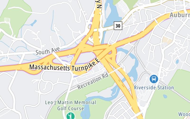
Massachusetts Turnpike At I-95

Advertising
Advertising

About This Location

I-95
Map image © TomTom Intl BV

At A Glance

This is Exit 123A/B of the Massachusetts Turnpike.

This junction is located in Weston. Waltham is nearby. NOTE: (Old Exit 15) WB Off/EB On.

This location is in the Boston area.

Interactive Map Below

This location's approximate GPS Coordinates are 42.33987 x -71.26316.

Which directions can I travel from here?

From this junction, traffic can only enter going eastbound. Traffic can only exit going westbound.

On to Route 16, about 1.7 miles away ►

◄ Back to I-95, about 0.8 miles away.

Which direction are tolls charged here?

  • ▸ Westbound off ramp
  • ▸ Eastbound on ramp

View Map Travel Conditions

Closest Food, Gas, EV And Other Services Near I-95

Use the map below for all services within about a two (2) mile radius.

Fuel, EV and convenience store header

Gas & EV Charging

Closest Gas Stations

Mobil

NEWTON

• 0.79 miles

Store/Fuel Brand: Mobil

128 NEWTON GAS

• 0.79 miles

Store/Fuel Brand:

REGANS SERVICE

2066 Commonwealth Avenue • 1.01 miles

Store/Fuel Brand:

Shell

SHELL

800 South Street • 1.02 miles

Store/Fuel Brand: Shell

View Map

Closest EV Chargers

ChargePoint

CHARGEPOINT

2340 Commonwealth Avenue • 0.51 miles

ChargePoint

CHARGEPOINT

2320 Commonwealth Avenue • 0.56 miles

Tesla

NEWTON, MA SUPERCHARGER

6 MA-128 • 0.75 miles

ChargePoint

CHARGEPOINT

6 MA-128 • 0.76 miles

View Map

Coffee, snacks and dining header

Fast Food & Beverage

Closest Fast Food

Fast food refers ONLY to quick-service and take-out diners. All restaurant types are shown on the map below.

BOKX 109 AMERICAN PRIME

399 Grove Street • 0.61 miles

TOM'S PIZZA & SANDWICH SHOP

423 Lexington Street • 0.96 miles

Dunkin'

DUNKIN'

2096 Commonwealth Avenue • 0.97 miles

BRUEGGER'S BAGELS AUBURNDALE

2050 Commonwealth Avenue • 1.00 miles

WELLESLEY NORTH END PIZZA

7 Washington Street • 1.02 miles

Dunkin'

DUNKIN'

12 Washington Street • 1.04 miles

FARMER'S FRIDGE

2014 Washington Street • 1.06 miles

FARMER'S FRIDGE

1844 Commonwealth Avenue • 1.12 miles

View Map

Advertising
Advertising

Interactive POI Map

The interactive map and lists on this page include key traveler services in a two-mile radius, including gas stations, truck stops, EV charging facilities, fast-food or family restaurants, and hotels.

Current driving conditions and weather, may be found below.

Advertising
Advertising

Travel Conditions At I-95

Current Weather And Visibility

  • 22 7 11
  • Partly Cloudy

    36°F / 2.4°C

    Feels Like:

    32°F / 0.3°C

  • Visibility

    12 Mi / 19.3 Km

    3-Hour Precip:

    0.01 In / 0.0 Cm

  • West Southwest
    Winds (WSW)

    6.3 MPH / 10.1 KPH

    Gusts:

    16.2 MPH / 26.1 KPH

▸ Get the full forecast for This Location | The Boston area

Available Cameras

090-MM123.4EB-WESTON-AT EX 123A/B I-95, RT 30

Camera direction: EAST. Boston 02493.
Source: MassDOT.

Camera direction: EAST. Boston 02493.<br />Source: MassDOT -

111 Ft

Camera direction: EAST. Boston 02493.<br />Source: MassDOT -

0.26 Mi

Camera direction: NORTH. Boston 02481.<br />Source: MassDOT -

2.19 Mi

Camera direction: EAST. Boston 02493.<br />Source: MassDOT -

2.25 Mi

Camera direction: EAST. Boston 02465.<br />Source: MassDOT -

2.74 Mi

Advertising
Advertising

Pictures At I-95

No photos …

There are no currently-available photos for this location.

Advertising
Advertising

Discover Massachusetts Attractions

Hotels and destinations header

Hotels & Airports

Destination Travel

Advertising
Advertising

EXPLORE MASSACHUSETTS

Journey to key destinations around and adjacent to Massachusetts!

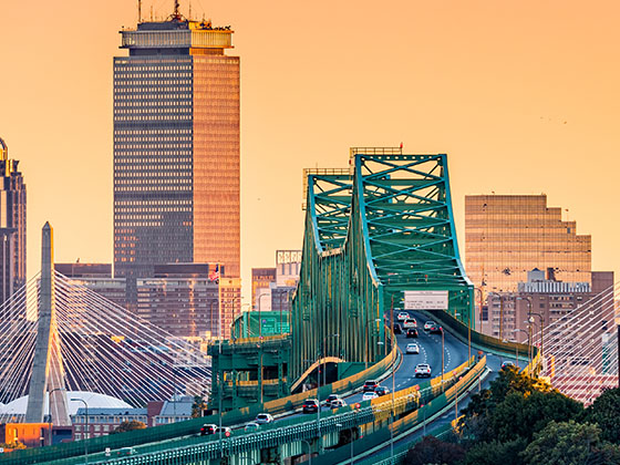
Map Of This Region ▹

Communities in this metro area include Boston, Cambridge, Chelsea, Allston, Framingham, Westborough, and Worcester.

Individual toll maps for this region are listed below.

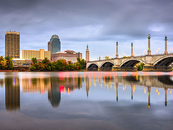
Map Of This Region ▹

Communities in this metro area include Springfield, West Springfield, Chicopee, Westfield, and Hartford, Connecticut.

Individual toll maps for this region are listed below.

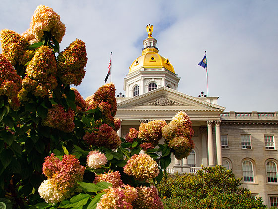
Map Of This Region ▹

Communities in this metro area include Hooksett, Concord, Manchester, and West Concord.

Individual toll maps for this region are listed below.

Map Of This Region ▹

Communities in this metro area include Albany, Schenectady, Rotterdam, Amsterdam, and West Stockbridge, Massachusetts.

Individual toll maps for this region are listed below.

Static map of Massachusetts Turnpike at I-95

Static map. Interactive map is above.

Advertising
Advertising
Turnpikes.com is proud to partner with the following: