This Location At A Glance
This travel plaza is located in Charlton. Sturbridge is nearby.
This location is in the Boston area; it also overlaps with the Springfield - Westfield area.
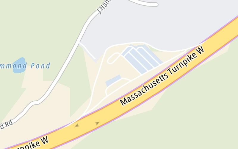
This location's approximate GPS Coordinates are 42.15627 x -71.96419.
On to I-290, about 5.6 miles away ►
◄ Back to Charlton Service Plaza Eastbound, about 4.6 miles away.
Nearby gas and food are shown on the interactive map below.
Weather & Visibility

Flurries
30°F / -1°C
Feels Like
34°F / 1.1°C

Visibility
15 Mi / 24.1 Km
3 Hr Precip
0 In / 0.0 Cm

-
NNE Wind
0.5 Mi / 0.9 Km
Gusts
0.8 Mi / 1.2 Km
See the full forecast for This Location or the Boston area
Conditions and forecasts provided in partnership with AccuWeather.

Weather provided in partnership with AccuWeather.
Available Cameras
No camera feed …
There is no currently-available traffic camera feed for this location.


 Massachusetts Turnpike ▹
 Sumner & Callahan Tunnels ▹
 Ted Williams Tunnel ▹
 Tobin Memorial Bridge ▹
 Blue Star Turnpike ▹
 Everett Turnpike ▹


 New York State Thruway ▹


