This Location At A Glance
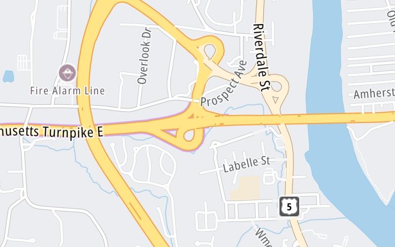
This is Exit 45 of the Massachusetts Turnpike.
This junction is located in Springfield. Holyoke is nearby. NOTE: (Old Exit 4) Springfield.
This location is in the Springfield - Westfield area.
This location's approximate GPS Coordinates are 42.15367 x -72.63859.
Which directions can I travel from here?
From this junction, traffic can enter traveling both westbound and eastbound. Traffic can also exit traveling both westbound and eastbound.
On to Route 33, about 3.8 miles away ►
◄ Back to US 202, about 4.6 miles away.
This location also connects with Connecticut.
Nearby gas and food are shown on the interactive map below.
Weather & Visibility

Mostly Clear
71°F / 21.9°C
Feels Like
76°F / 24.3°C

Visibility
9 Mi / 14.5 Km
3 Hr Precip
0 In / 0.0 Cm

-
SW Wind
1.2 Mi / 1.9 Km
Gusts
3.6 Mi / 5.7 Km
See the full forecast for This Location or the Springfield - Westfield area
Conditions and forecasts provided in partnership with AccuWeather.

Weather provided in partnership with AccuWeather.
Available Cameras

0.75 Mi
2.02 Mi
3.19 Mi
3.34 Mi
3.39 Mi


 Massachusetts Turnpike ▹
 Sumner & Callahan Tunnels ▹
 Ted Williams Tunnel ▹
 Tobin Memorial Bridge ▹
 Blue Star Turnpike ▹
 Everett Turnpike ▹


 New York State Thruway ▹


