This Location At A Glance
NOTICE! Data for this plaza/rest stop is being updated.
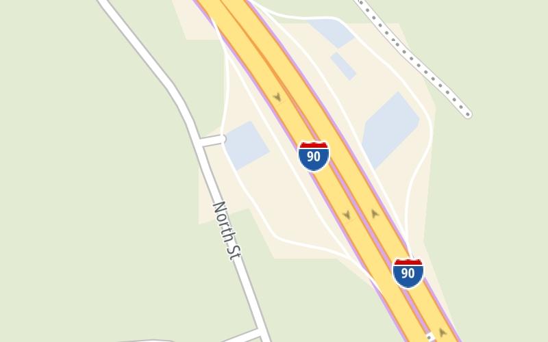
This travel plaza is located in Blandford.
This location is in the Springfield - Westfield area.
Map image © TomTom Intl BV
This location's approximate GPS Coordinates are 42.19445 x -72.93406.
On to US 202, about 11.6 miles away ►
◄ Back to Blandford Service Plaza Westbound, about 0.0 miles away.
Nearby gas and food are shown on the interactive map below.
Weather & Visibility

Cloudy
61°F / 15.9°C
Feels Like
62°F / 16.8°C

Visibility
10 Mi / 16.1 Km
3 Hr Precip
0.06 In / 0.2 Cm

-
WNW Wind
1.8 Mi / 2.9 Km
Gusts
7.6 Mi / 12.2 Km
See the full forecast for This Location or the Springfield - Westfield area
Conditions and forecasts provided in partnership with AccuWeather.

Weather provided in partnership with AccuWeather.
Available Cameras

2.71 Mi
Advertising


 Massachusetts Turnpike ▹
 Sumner & Callahan Tunnels ▹
 Ted Williams Tunnel ▹
 Tobin Memorial Bridge ▹
 Blue Star Turnpike ▹
 Everett Turnpike ▹


 New York State Thruway ▹


