Independence Bridge Traffic And Weather

Current Weather And Visibility

Key Regions Along The Independence Bridge

East Central Michigan

Currently Next 12 Hours

  • 1 7 04
  • Clear

    41°F

    Feels Like:

    29°F

  • Visibility

    9 Mi

    Humidity:

    86 %

  • North Northeast
    Wind

    16.1 MPH

    Gusts:

    16.1 MPH

Conditions and forecasts provided in partnership with AccuWeather.

AccuWeather logo

Weather provided in partnership with AccuWeather.

AccuWeather logo
Independence Bridge static map

Michigan Radar & Satellite

NOAA composite satellite & weather radar imagery.

Images from GOES-East Great Lakes Sector. Sequence may take a moment to initialize.

  • GOES 16: GOES-East Great Lakes Sector
  • GOES 16: GOES-East Great Lakes Sector
  • GOES 16: GOES-East Great Lakes Sector
  • GOES 16: GOES-East Great Lakes Sector
  • GOES 16: GOES-East Great Lakes Sector
  • GOES 16: GOES-East Great Lakes Sector
  • GOES 16: GOES-East Great Lakes Sector
  • GOES 16: GOES-East Great Lakes Sector

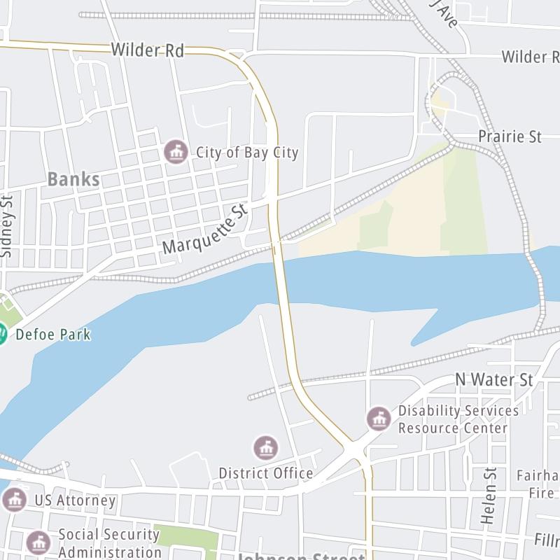
Weather & Travel Conditions With The Road Map

This bridge serves Bay City. Use the interactive map of the Independence Bridge to pick a location for destination weather.

Pan and zoom the interactive map to your chosen position. Select markers to view conditions at that location and see nearby available traffic cameras along the bridge.

View Map Regional Forecasts

Advertising
Advertising

The Independence Bridge Road Map

Select markers on the map for location-specific traffic and weather conditions along the Independence Bridge.

Advertising
Advertising

Regional Driving Forecasts For The Independence Bridge

East Central Michigan 12-Hour Forecast

2:01 am Local Time

Conditions and forecasts provided in partnership with AccuWeather.

AccuWeather logo

Weather provided in partnership with AccuWeather.

AccuWeather logo
Advertising
Advertising

EXPLORE MICHIGAN

Journey to key destinations around and adjacent to Michigan!

Map Of This Region ▹

Communities in this metro area include Detroit, Grosse Ile, Ann Arbor, Pontiac, and Lansing.

Individual toll maps for this region are listed below.

Map Of This Region ▹

Communities in this metro area include St Ignace and Sault Ste Marie.

Individual toll maps for this region are listed below.

Map Of This Region ▹

Communities in this metro area include Port Huron, Flint, Saginaw, and Bay City.

Individual toll maps for this region are listed below.

Map Of This Region ▹

Communities in this metro area include Toledo, Perrysburg, Maumee, Montpelier, and Wauseon.

Individual toll maps for this region are listed below.

Map Of This Region ▹

Communities in this metro area include Sault Ste Marie, Thunder Bay, Fort Frances, and Greater Sudbury.

Individual toll maps for this region are listed below.

Map Of This Region ▹

Communities in this metro area include Windsor.

Individual toll maps for this region are listed below.

Advertising
Advertising
Turnpikes.com is proud to partner with the following: