Independence Bridge At Toll Gantry

Toll gantry

At A Glance

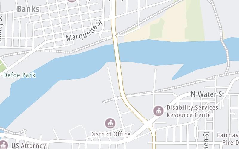
This toll point is located in Bay City. Essexville is nearby. Expected location of new gantry.

This location is in the East Central Michigan area.

▾ Interactive Map Below ▾

This location's approximate GPS Coordinates are 43.61088 x -83.87225.

On to Independece Bridge bascule, about 0.2 miles away ►

◄ Back to Woodside Avenue, about 0.4 miles away.

▾ Travel Conditions ▾

Above: Map image © TomTom Intl BV

Using The POI Map

The interactive map will help you orient this location in relationship to other junctions.

Current driving conditions and weather may also be found below the map.

View Map ▾Weather ▾

Static map of Independence Bridge at Toll gantry
Static map. Interactive map is below.

Because of the nature of this location, no services are displayed. On most exit or junction pages, a summary of the closest services around the junction will be shown, along with detailed lists of services within two miles.

View Map ▾

Advertising
Advertising

Interactive Exit Map Of Independence Bridge

Your Selected Location Relative To Roadway

Advertising
Advertising

Travel Conditions At Toll gantry

Current Weather And Visibility

  • 14 7 03
  • Partly Sunny

    47°F / 8.1°C

    Feels Like:

    48°F / 9.1°C

  • Visibility

    12 Mi / 19.3 Km

    3-Hour Precip:

    0 In / 0.0 Cm

  • South Southwest
    Winds (SSW)

    7.6 MPH / 12.2 KPH

    Gusts:

    15.9 MPH / 25.6 KPH

▸ Get the full forecast for the East Central Michigan area

Available Cameras

No camera feed …

There is no currently-available traffic camera feed for this location.

Travel Pictures

No photos …

There are no currently-available photos for this location.

Advertising
Advertising

EXPLORE MICHIGAN

Journey to key destinations around and adjacent to Michigan!

Map Of This Region ▹

Communities in this metro area include Detroit, Grosse Ile, Ann Arbor, Pontiac, and Lansing.

Individual toll maps for this region are listed below.

Map Of This Region ▹

Communities in this metro area include St Ignace and Sault Ste Marie.

Individual toll maps for this region are listed below.

Map Of This Region ▹

Communities in this metro area include Port Huron, Flint, Saginaw, and Bay City.

Individual toll maps for this region are listed below.

Map Of This Region ▹

Communities in this metro area include Toledo, Perrysburg, Maumee, Montpelier, and Wauseon.

Individual toll maps for this region are listed below.

Map Of This Region ▹

Communities in this metro area include Sault Ste Marie, Thunder Bay, Fort Frances, and Greater Sudbury.

Individual toll maps for this region are listed below.

Map Of This Region ▹

Communities in this metro area include Windsor.

Individual toll maps for this region are listed below.

Advertising
Advertising
Turnpikes.com is proud to partner with the following: