Right Now In Sacramento
Travel Conditions In California's Capital Area
Current Weather And Visibility
4:05 am Local Time

Clear
57°F / 13.9°C
Feels Like
58°F / 14.3°C

Visibility
11 Mi / 17.7 Km
3 Hr Precip
0 In / 0.0 Cm

-
ESE Wind
2.8 Mi / 4.5 Km
Gusts
5.6 Mi / 9 Km
Conditions and forecasts provided in partnership with AccuWeather.

Weather provided in partnership with AccuWeather.
More Weather Options
Key Metro Areas In California
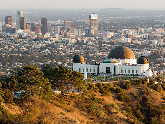
Greater Los Angeles
Includes the following communities: Los Angeles, Long Beach, Irvine, San Juan Capistrano, and Santa Ana.
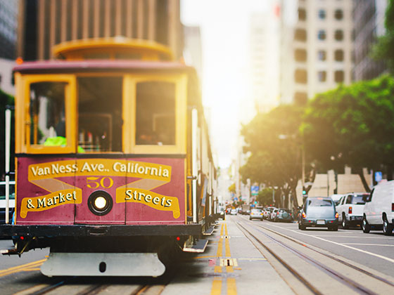
San Francisco Bay Area
Includes the following communities: San Francisco, San Jose, Sausalito, and Menlo Park.
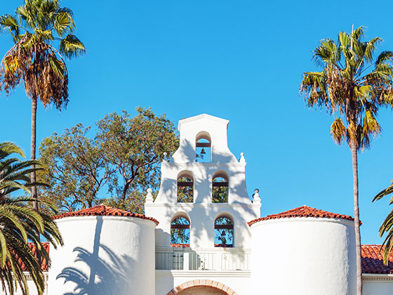
San Diego
Includes the following communities: San Diego, Chula Vista, and Tijuana, Mexico.
Advertising

 CA 73
CA 73 CA 133
 CA 241
 CA 261
 Antioch Bridge
 Benicia Martinez Bridge
 Carquinez Bridge
 Dumbarton Bridge
 Golden Gate Bridge
 Richmond San Rafael Bridge
 San Mateo Hayward Bridge
 South Bay Expressway


