Select markers to see a close-up map of that location The points-of-interest shown on this map are also listed below, ordered from south to north.

This bridge serves San Francisco, Sausalito, and Fort Baker.
This road is in the San Francisco Bay Area area.
A complete list of exits can be found below.
Accepted types of payment taken while on the road
Available when checked
The Golden Gate Bridge offers license-plate tolling for those without a compatible transponder.
For drivers with a transponder, the following passes can be used on the Golden Gate Bridge

Learn about transponders and accounts in California.
View MapToll CalculatorAll California Tolls
Our new toll and trip calculator is complete, but many roads' data are still being entered into our database. The legacy calculator remains active for current, accurate tolls.
Turnpikes.com has partnered with Tiqets.com to bring you these excusive deals on attractions!
The Golden Gate Bridge
Viewing an exit or other location opens a new map showing gas, EV charging, fast-food and other dining, plus weather and driving conditions.
Exit 439Welcome Center / Lincoln Boulevard — San Francisco
Note(s): None.
GPS 37.806500000 X -122.474571000
 Golden Gate Transportation District manages this segment.
Golden Gate Bridge Welcome Center — San Francisco
Note(s): Pictures here.
GPS 37.807336000 X -122.474767000
Golden Gate Bridge Toll Plaza — San Francisco
Note(s): None.
GPS 37.835684000 X -122.484646000
Golden Gate Transportation District manages this segment.
Vista Point / H. Dana Bower Rest Area — Fort Baker
Note(s): None.
GPS 37.832711000 X -122.481143000
Exit 442Alexander Avenue / Fort Baker — Fort Baker
Note(s): None.
GPS 37.835684000 X -122.484646000
Golden Gate Transportation District manages this segment.
Journey to key destinations around and adjacent to California!
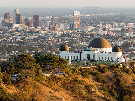
Communities in this metro area include Los Angeles, Long Beach, Irvine, San Juan Capistrano, and Santa Ana.
Individual toll maps for this region are listed below.
Communities in this metro area include San Francisco, San Jose, Sausalito, and Menlo Park.
Individual toll maps for this region are listed below.
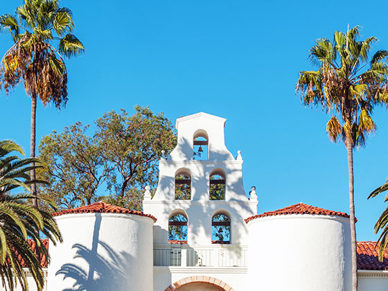
Communities in this metro area include San Diego, Chula Vista, and Tijuana, Mexico.
Individual toll maps for this region are listed below.
 CA 73 ▹
 CA 133 ▹
 CA 241 ▹
 CA 261 ▹
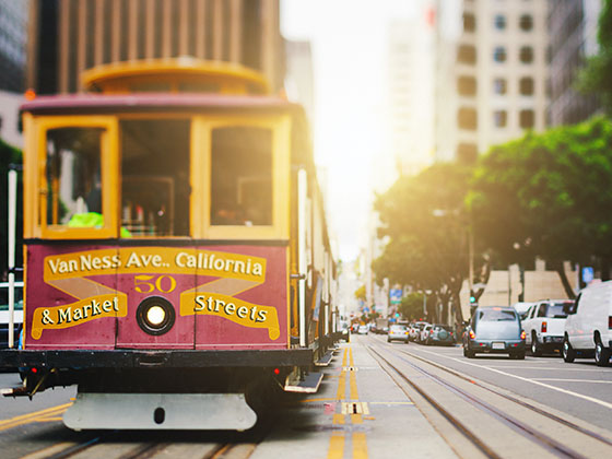
 Antioch Bridge ▹
 Benicia Martinez Bridge ▹
 Carquinez Bridge ▹
 Dumbarton Bridge ▹
 Golden Gate Bridge ▹
 Richmond San Rafael Bridge ▹
 San Mateo Hayward Bridge ▹
 South Bay Expressway ▹


