This Location At A Glance
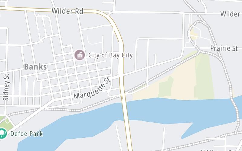
This junction is located in Bay City. NOTE: North side of span / intersection of Truman Parkway and Marquette.
This location is in the East Central Michigan area.
This location's approximate GPS Coordinates are 43.61681 x -83.87324.
Which directions can I travel from here?
From this junction, traffic can enter traveling both southbound and northbound. Traffic can also exit traveling both southbound and northbound.
◄ Back to Independece Bridge bascule, about 0.2 miles away.
Nearby gas and food are shown on the interactive map below.
Weather & Visibility

Mostly Cloudy
58°F / 14.2°C
Feels Like
62°F / 16.5°C

Visibility
12 Mi / 19.3 Km
3 Hr Precip
0 In / 0.0 Cm

-
SE Wind
6.6 Mi / 10.7 Km
Gusts
11.4 Mi / 18.4 Km
See the full forecast for This Location or the East Central Michigan area
Conditions and forecasts provided in partnership with AccuWeather.

Weather provided in partnership with AccuWeather.
Available Cameras
No camera feed …
There is no currently-available traffic camera feed for this location.


 Ambassador Bridge ▹
 Detroit Windsor Tunnel ▹
 Mackinac Bridge ▹
 Liberty Bridge ▹
 Independence Bridge ▹
 Ohio Turnpike ▹
 Indiana Toll Road ▹


