Share

Blue Water Bridge At Canada Bridge Toll Plaza

Advertising
Advertising

This Location At A Glance

This toll point is located in Point Edward. NOTE: WB tolls from Canada.

This location is in the East Central Michigan area; it also overlaps with the Southwestern Ontario area.

Canada Bridge Toll Plaza
Map image © TomTom Intl BV

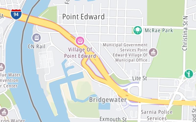
This location's approximate GPS Coordinates are 42.99321 x -82.41110.

Interactive Map Below


On to Canada Bridge Toll Plaza, about 0.0 miles away ►

◄ Back to Truckers' Customs, about 0.0 miles away.

This location also connects with Ontario.

Nearby gas and food are shown on the interactive map below.

View Map

Weather & Visibility

  • 03 7 03
  • Mostly Clear

    25°F / -3.9°C

    Feels Like

    24°F / -4.7°C

  • Visibility

    9 Mi / 14.5 Km

    3 Hr Precip

    0 In / 0.0 Cm

  • S Wind

    4.6 Mi / 7.4 Km

    Gusts

    7 Mi / 11.2 Km


Available Cameras

I-94 EB W/O BLUE WATER BRDG TOLL

Camera direction: EAST. Detroit 48060.
Source: MDOT.

Camera direction: EAST. Detroit 48060.<br />Source: MDOT -

1.50 Mi

Camera direction: WEST. Detroit 48060.<br />Source: MDOT -

2.03 Mi

Camera direction: WEST. Detroit 48060.<br />Source: MDOT -

2.41 Mi

Camera direction: WEST. Detroit 48060.<br />Source: MDOT -

2.42 Mi

Advertising

Closest Food, Gas, EV And Other Services Near Canada Bridge Toll Plaza

The map shows traffic cameras and services in about a two-mile radius. Not all locations have cameras

Advertising

Discover Michigan Attractions

Hotels and destinations header

Hotels & Airports

Destination Travel

Advertising
Advertising

EXPLORE MICHIGAN

Journey to key destinations around and adjacent to Michigan!

Map Of This Region ▹

Communities in this metro area include Detroit, Grosse Ile, Ann Arbor, Pontiac, and Lansing.

Individual toll maps for this region are listed below.

Map Of This Region ▹

Communities in this metro area include St Ignace and Sault Ste Marie.

Individual toll maps for this region are listed below.

Map Of This Region ▹

Communities in this metro area include Port Huron, Flint, Saginaw, and Bay City.

Individual toll maps for this region are listed below.

Map Of This Region ▹

Communities in this metro area include Toledo, Perrysburg, Maumee, Montpelier, and Wauseon.

Individual toll maps for this region are listed below.

Map Of This Region ▹

Communities in this metro area include Sault Ste Marie, Thunder Bay, Fort Frances, and Greater Sudbury.

Individual toll maps for this region are listed below.

Map Of This Region ▹

Communities in this metro area include Windsor.

Individual toll maps for this region are listed below.

Static map of Blue Water Bridge at Canada Bridge Toll Plaza

Static map. Interactive map is above.

Advertising
Advertising
Turnpikes.com is proud to partner with the following: