Share

Blue Water Bridge At US Bridge Toll Plaza

Advertising
Advertising

About This Location

US Bridge Toll Plaza
Map image © TomTom Intl BV

At A Glance

This toll point is located in Port Huron Charter Township. NOTE: EB tolls from US.

This location is in the East Central Michigan area; it also overlaps with the Southwestern Ontario area.

Interactive Map Below

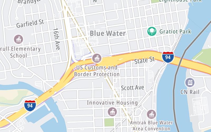
This location's approximate GPS Coordinates are 42.99815 x -82.43560.

On to US Bridge Toll Plaza, about 0.0 miles away ►

◄ Back to Pine Grove Ave / Hancock St, about 0.5 miles away.

View Map Travel Conditions

Advertising
Advertising

Interactive POI Map

The interactive map will help you orient this location in relationship to other junctions.

Current driving conditions and weather may be found below.

Advertising
Advertising

Travel Conditions At US Bridge Toll Plaza

Current Weather And Visibility

  • 09 7 12
  • Light Rain

    36°F / 2.2°C

    Feels Like:

    25°F / -3.7°C

  • Visibility

    9 Mi / 14.5 Km

    3-Hour Precip:

    0.07 In / 0.2 Cm

  • Southwest
    Winds (SW)

    10.4 MPH / 16.7 KPH

    Gusts:

    14 MPH / 22.6 KPH

▸ Get the full forecast for the East Central Michigan area

Available Cameras

C-I94B-MM2750-BWB PLAZA

Camera direction: WEST. Detroit 48060.
Source: MDOT.

Camera direction: WEST. Detroit 48060.<br />Source: MDOT -

788 Ft

Camera direction: EAST. Detroit 48060.<br />Source: MDOT -

0.24 Mi

Camera direction: WEST. Detroit 48060.<br />Source: MDOT -

0.89 Mi

Camera direction: WEST. Detroit 48060.<br />Source: MDOT -

1.28 Mi

Camera direction: WEST. Detroit 48060.<br />Source: MDOT -

1.28 Mi

Advertising
Advertising

Pictures At US Bridge Toll Plaza

No photos …

There are no currently-available photos for this location.

Advertising
Advertising

Discover Michigan Attractions

Hotels and destinations header

Hotels & Airports

Destination Travel

Advertising
Advertising

EXPLORE MICHIGAN

Journey to key destinations around and adjacent to Michigan!

Map Of This Region ▹

Communities in this metro area include Detroit, Grosse Ile, Ann Arbor, Pontiac, and Lansing.

Individual toll maps for this region are listed below.

Map Of This Region ▹

Communities in this metro area include St Ignace and Sault Ste Marie.

Individual toll maps for this region are listed below.

Map Of This Region ▹

Communities in this metro area include Port Huron, Flint, Saginaw, and Bay City.

Individual toll maps for this region are listed below.

Map Of This Region ▹

Communities in this metro area include Toledo, Perrysburg, Maumee, Montpelier, and Wauseon.

Individual toll maps for this region are listed below.

Map Of This Region ▹

Communities in this metro area include Sault Ste Marie, Thunder Bay, Fort Frances, and Greater Sudbury.

Individual toll maps for this region are listed below.

Map Of This Region ▹

Communities in this metro area include Windsor.

Individual toll maps for this region are listed below.

Static map of Blue Water Bridge at US Bridge Toll Plaza

Static map. Interactive map is above.

Advertising
Advertising
Turnpikes.com is proud to partner with the following: