This Location At A Glance
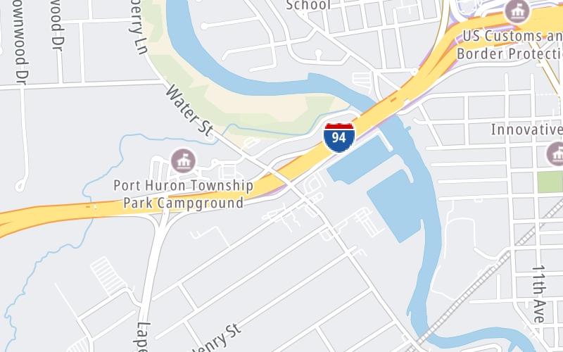
This is Exit 274 of the Blue Water Bridge.
This junction is located in Port Huron Charter Township. NOTE: Last EB exit before bridge.
This location is in the East Central Michigan area; it also overlaps with the Southwestern Ontario area.
This location's approximate GPS Coordinates are 42.99172 x -82.45140.
Which directions can I travel from here?
From this junction, traffic can enter traveling both westbound and eastbound. Traffic can also exit traveling both westbound and eastbound.
On to Water Street, about 0.0 miles away ►
Nearby gas and food are shown on the interactive map below.
Weather & Visibility

Cloudy
63°F / 17.2°C
Feels Like
58°F / 14.3°C

Visibility
9 Mi / 14.5 Km
3 Hr Precip
0.07 In / 0.2 Cm

-
SSW Wind
17.3 Mi / 27.8 Km
Gusts
28.8 Mi / 46.3 Km
See the full forecast for This Location or the East Central Michigan area
Conditions and forecasts provided in partnership with AccuWeather.

Weather provided in partnership with AccuWeather.
Available Cameras

174 Ft
0.38 Mi
0.38 Mi
0.69 Mi
1.12 Mi


 Ambassador Bridge ▹
 Detroit Windsor Tunnel ▹
 Mackinac Bridge ▹
 Liberty Bridge ▹
 Independence Bridge ▹
 Ohio Turnpike ▹
 Indiana Toll Road ▹


