Current Weather And Visibility
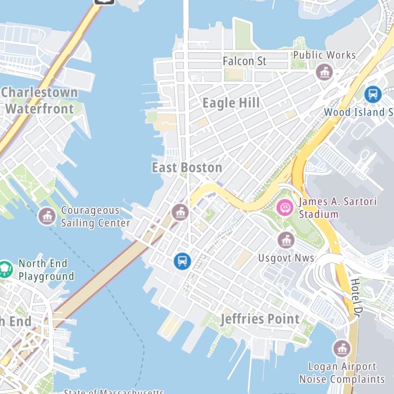
Key Regions Along The Sumner & Callahan Tunnels
Boston
Currently Next 12 Hours

Light Rain
51°F
Feels Like:
51°F
Visibility
10 Mi
Humidity:
82 %
N Wind
0 MPH
Gusts:
5.9 MPH
Conditions and forecasts provided in partnership with AccuWeather.

Weather provided in partnership with AccuWeather.
Massachusetts Radar & Satellite
NOAA composite satellite & weather radar imagery.
Images from GOES-East Northeast Sector. Sequence may take a moment to initialize.
Weather & Travel Conditions With The Road Map
The Sumner & Callahan Tunnels is also known as Mass Route 1A. This tunnel serves Boston. Use the interactive map of the Sumner & Callahan Tunnels to pick a location for destination weather.
Pan and zoom the interactive map to your chosen position. Select markers to view conditions at that location and see nearby available traffic cameras along the tunnel.

 Massachusetts Turnpike ▹
 Sumner & Callahan Tunnels ▹
 Ted Williams Tunnel ▹
 Tobin Memorial Bridge ▹
 Blue Star Turnpike ▹
 Everett Turnpike ▹


 New York State Thruway ▹


