Search to find available roads, plazas, agencies, etc.
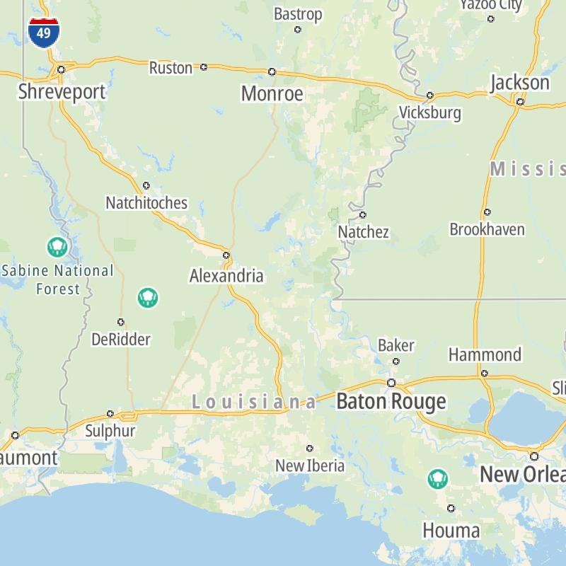
Louisiana's Toll Road Maps
The list includes three toll roads within or crossing into the state of Louisiana.
A menu of Louisiana's interstates is also shown below.
 Belle Chasse Bridge
  LA 1
LA 1  Lake Pontchartrain Causeway
 Regional Toll Road MapsToll Roads By Type
Louisiana Interstates
Simply scroll and tap the shield for the interstate you want.
Driving In The State Of Louisiana
Louisiana's toll roads maps are organized alphabetically and by the type of road. You can find city and regional toll roads below. Interstates are sorted by number.

 Lake Pontchartrain Causeway ▹
 Grand Parkway ▹
 Hardy Toll Road ▹
 Sam Houston Tollway ▹
 Tomball Tollway ▹
 Westpark Tollway ▹


