Lake Pontchartrain Causeway Traffic And Weather

Current Weather And Visibility

Key Regions Along The Lake Pontchartrain Causeway

New Orleans - Mississippi Gulf

Currently Next 12 Hours

  • -2 7 04
  • Mostly Clear

    77°F

    Feels Like:

    82°F

  • Visibility

    10 Mi

    Humidity:

    82 %

  • Southeast
    Wind

    3.2 MPH

    Gusts:

    8.7 MPH

Conditions and forecasts provided in partnership with AccuWeather.

AccuWeather logo

Weather provided in partnership with AccuWeather.

AccuWeather logo
Lake Pontchartrain Causeway static map

Louisiana Radar & Satellite

NOAA composite satellite & weather radar imagery.

Images from GOES-East Southern Mississippi Valley Sector. Sequence may take a moment to initialize.

  • GOES 16: GOES-East Southern Mississippi Valley Sector
  • GOES 16: GOES-East Southern Mississippi Valley Sector
  • GOES 16: GOES-East Southern Mississippi Valley Sector
  • GOES 16: GOES-East Southern Mississippi Valley Sector
  • GOES 16: GOES-East Southern Mississippi Valley Sector
  • GOES 16: GOES-East Southern Mississippi Valley Sector
  • GOES 16: GOES-East Southern Mississippi Valley Sector
  • GOES 16: GOES-East Southern Mississippi Valley Sector

Weather & Travel Conditions With The Road Map

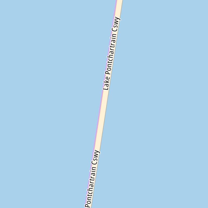
The Lake Pontchartrain Causeway is also known as U.s. Causeway and Lake Pontchartrain Causeway Bridge. This bridge serves Mandeville, Lewisburg, Metmairie, and New Orleans. Use the interactive map of the Lake Pontchartrain Causeway to pick a location for destination weather.

Pan and zoom the interactive map to your chosen position. Select markers to view conditions at that location and see nearby available traffic cameras along the bridge.

View Map Regional Forecasts

Advertising
Advertising

The Lake Pontchartrain Causeway Road Map

Select markers on the map for location-specific traffic and weather conditions along the Lake Pontchartrain Causeway.

Advertising
Advertising

Regional Driving Forecasts For The Lake Pontchartrain Causeway

New Orleans - Mississippi Gulf 12-Hour Forecast

11:54 pm Local Time

Conditions and forecasts provided in partnership with AccuWeather.

AccuWeather logo

Weather provided in partnership with AccuWeather.

AccuWeather logo
Advertising
Advertising

EXPLORE LOUISIANA

Journey to key destinations around and adjacent to Louisiana!

Map Of This Region ▹

Communities in this metro area include New Orleans, Slidell, Metairie, Mandeville, and Belle Chasse.

Individual toll maps for this region are listed below.

Map Of This Region ▹

Communities in this metro area include Houston, Humble, Tomball, Sugar Land, Galveston, Pearland, and Katy.

Individual toll maps for this region are listed below.

Advertising
Advertising
Turnpikes.com is proud to partner with the following: